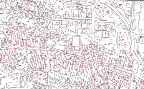
Drainage. Alignment K:\D (D102241) SHERFORD\CONSOLIDATED PLANNING DOCUMENTS\MAIN STREET\SHERFORD MAIN STREET NARRATIVE REVISION
|
|
|
- Logan Sparks
- 5 years ago
- Views:
Transcription

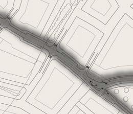
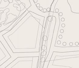
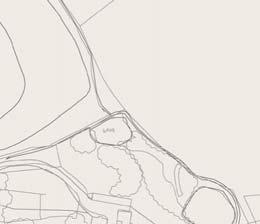
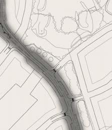
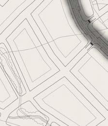
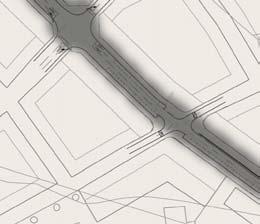
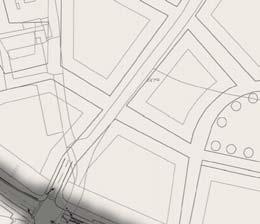
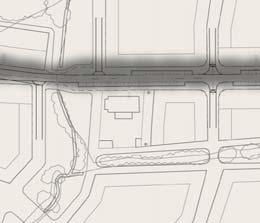
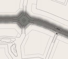
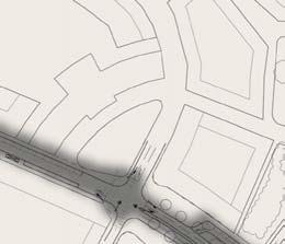
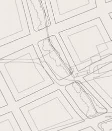
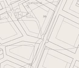
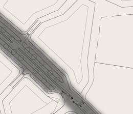
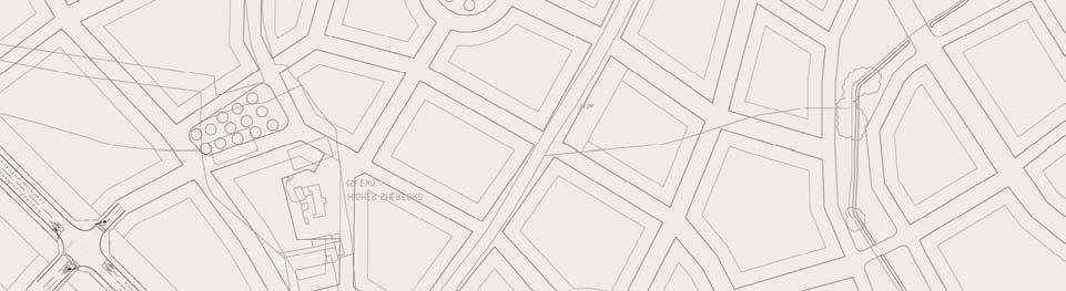
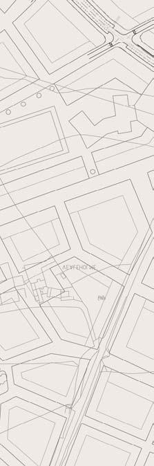
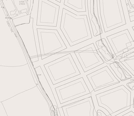
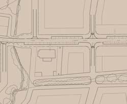
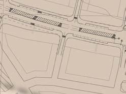
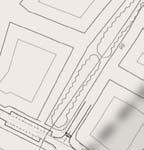
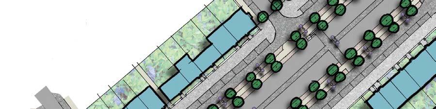
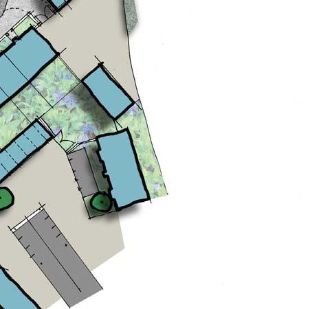
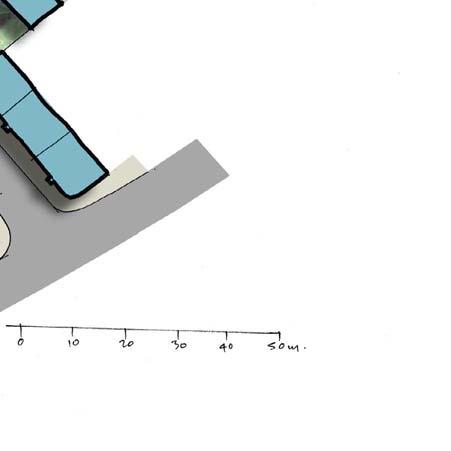
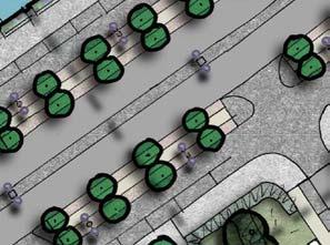
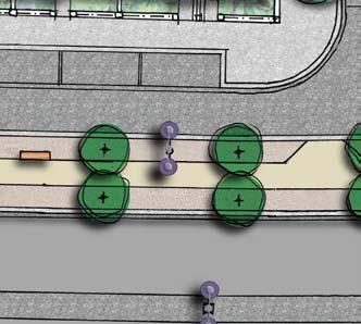
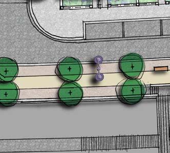
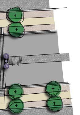
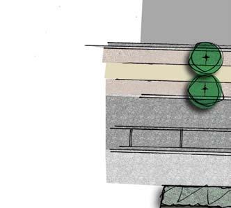
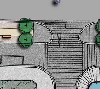
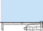
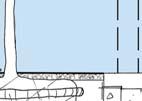
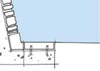
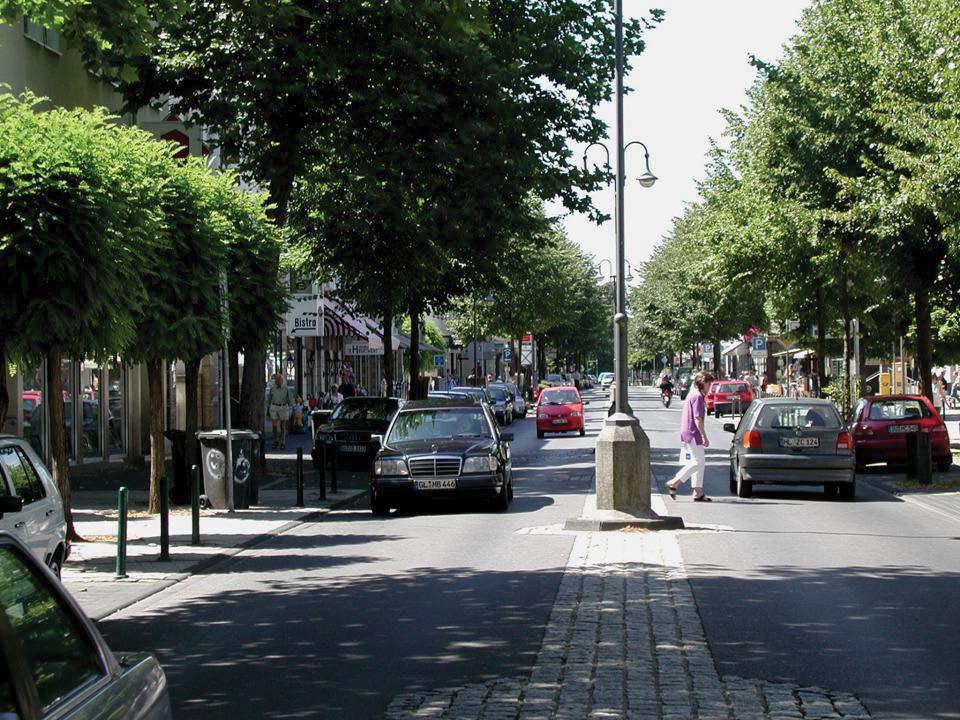
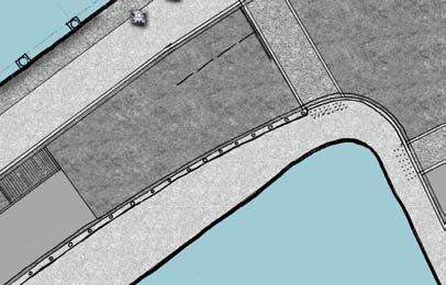
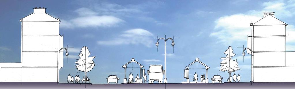
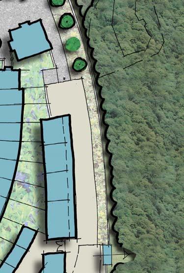
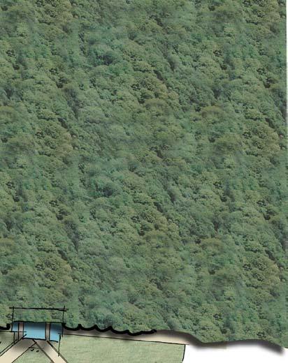
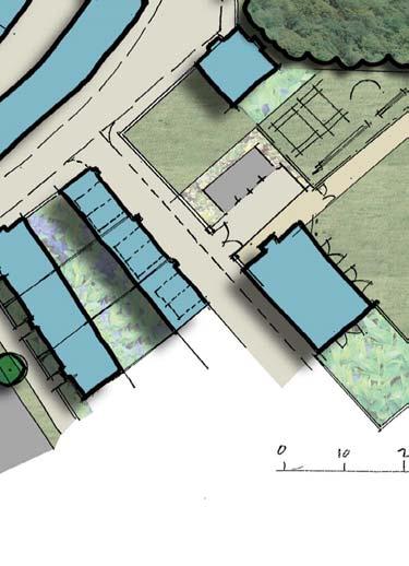
1 The Main Street therefore provides a key link for a HQPT bus system between the Park and Ride, through Sherford onto the A379 and Plymouth City Centre. There is no definitive description of an HQPT system, however in this instance it is generally taken to mean a reliable high frequency public transport service that provides a cost effective and quicker alternative to cars with modern clean buses. Furthermore, it is a service that has the capacity to carry large numbers of people. The Main Street must allow the buses to perform to these criteria. No decision regarding the type of vehicle to be used for HQPT has been taken. Nevertheless it is envisaged that in order to achieve the necessary patronage levels, high capacity Bendi Buses may be used. The vertical and horizontal alignment of the Main Street has been designed to allow Bendi Buses to operate at speeds of up to 30mph, through the urban area. However it is anticipated that actual speeds will be close to those identified for each of the described Character Areas. In order to ensure that buses travel through Sherford substantially quicker than the car, priority will be given to buses approaching signalised junctions. Presently nine sets of traffic signals are proposed on the Main Street (if those situated on the existing highway at Deep Lane, Haye Road and Stanborough Cross are not included) each one provided with vehicle actuated switching to give bus priority at all of these junctions. On leaving the Park and Ride, the HQPT will be given priority onto the Main Street at the Northern Avenue junction and will run on the Main Street to the Bridge where, when necessary, it will switch onto its own running lane in the centre of the street. It will then run in the main carriageway until it reaches the Secondary School where it is allowed a straight line across the open area in front of the school entrance bypassing the signalised junction with Southern Avenue. The Haye Road Junction has been designed to provide a segregated approach for the westbound HQPT to receive priority over vehicles waiting to join Haye Road. This can be adapted to allow HQPT buses to turn right from Haye Road onto a future dedicated route through the existing Moorcroft Quarry site. In order to ensure that the interim situation of buses travelling on Haye Road and joining the A379 at Stanbourgh Cross is not compromised by other traffic, a 400m long dedicated bus lane from as far back as Vinery Lane ensures that there is a significant advantage for the bus over the car. This enables the buses to reach the stop line at Haye Road without any delay and the provision of a bus gate allows buses reaching the signalised junction at Stanborough Cross always to pass through on the first phase of the lights. This will give the bus a tremendous advantage over the car but most importantly the advantage will be very visible, and will be witnessed most by those in queuing cars watching the bus pass by. It will act therefore to advertise modal shift. The relative performance of the bus will promote patronage and the episodic congestion for other forms of motorised traffic will actively discourage the use both of the car and of this route which will in turn ensure that the current rat-running is curtailed. The manipulation of the light sequences regardless of traffic levels will be a useful tool through early phases. Three stops within Sherford, in addition to the Park and Ride, are to be provided. These are located at the eastern neighbourhood centre near the square-about junction, at the town centre junction with Brixton Road and outside the secondary school. These stops are designed for high capacity buses with low floors and double entrance doors. Drainage The surface water drainage system serving the Main Street will also drain the adjacent urban areas. Gullies located adjacent to the kerb or in channels on the edge of the carriageway will connect to a surface water sewer below the carriageway. These sewers will drain to a number of main soakaway features located below ground in green open space areas adjacent to the highway at the Bridge and at the western playing fields. These features will be sized to store run-off from the designed rainfall events, however to prevent flooding in extreme events an overflow connection to adjacent watercourses will be provided. Scott Wilson s Engineering layout drawings no s D to 714 shows the principle route of the surface water drains/sewers and the location of the proposed attenuation/storage features. Where the surface water from the highway is mixed with substantial volume of private development runoff, the sewer will be adopted by South West Water; where the predominant flow is from the highway, the Highway Authority will adopt as a highway drain. The relevant authority will also adopt the soakaway features. Alignment The Main Street route is entirely located on Greenfield agricultural land, with few constraints to its alignment. It was the proposed urban form of Sherford and a desire to seek the less steep areas of topography, which confirmed the detailed route. The topography is generally rolling grassland, which drops 70m from the highest point at Deep Lane junction to the connection point at Haye Road, a distance of approximately 3.5km. The steeper gradients are generally at the eastern end however no gradients are greater than 5% (1 in 20). Scott Wilson Drawings D108875/717 to 722 show a long section drawn through the centreline of the Main Street and they demonstrate that the proposed finished road level generally follows the existing ground. This therefore limits the amount of earthworks involved in the construction of the street. The Cross-Section Drawings D108875/723 to 733 also demonstrate that, in general, the development on each side of the street can be constructed close to the back of footpath level, again without substantial amounts of earthworks. This design philosophy ensures that the Main Street Design will comply with the requirements of The Disability Discrimination Act Access to the existing properties and road connections on site will be incorporated into the overall Sherford road network. In the interim situation the Main Street construction will provide temporary connections to the existing local road network and make available access to the existing properties on site. K:\D (D102241) SHERFORD\CONSOLIDATED PLANNING DOCUMENTS\MAIN STREET\SHERFORD MAIN STREET NARRATIVE REVISION DOC


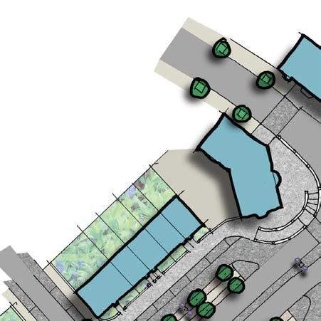
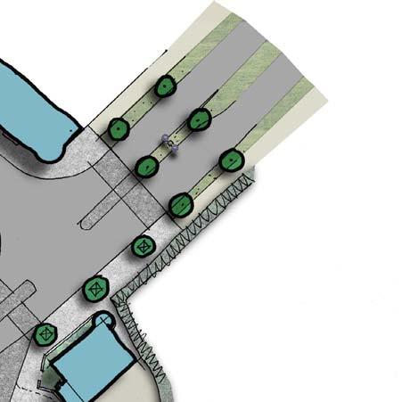
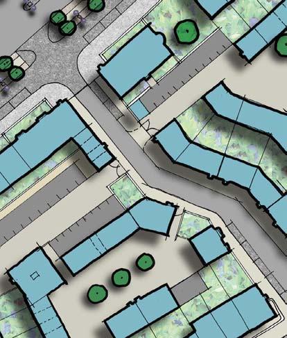
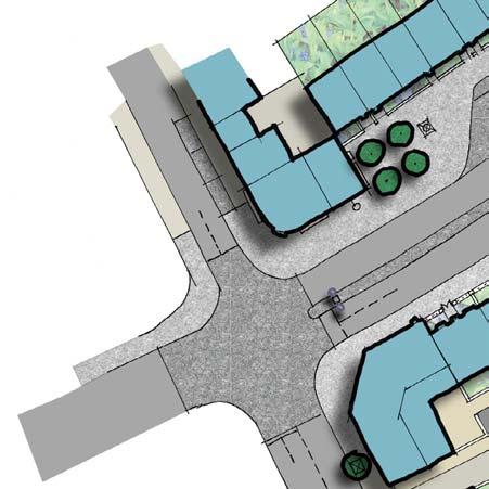
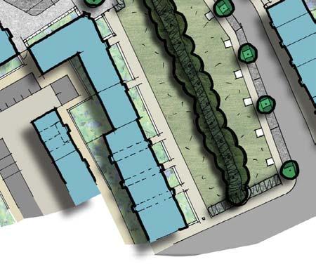
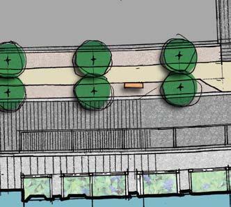
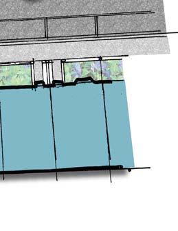
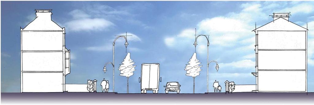
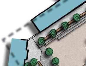
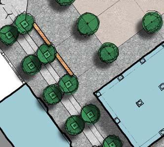
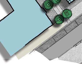
2 Lighting Lighting of the Main Street will be to Devon County Council highway lighting standards with white light used throughout. Building mounted lanterns will be used wherever possible. Where lighting columns are unavoidable, primarily adjacent to open space areas or where road widths may compromise ambient lighting on the carriageway, they will be designed as a part of the overall street furniture range. Lighting levels will vary along the length of the street and will be dependent upon the volume of traffic on that length and the particular use of the area. For example, the High Street section will have higher lighting levels, taking into account greater pedestrian activity in that area. The road adjacent to the bat corridor will be treated as a special case with lower lighting levels and reduced mounting heights, minimising light spill into the surrounding area. Temporary lighting may need to be provided before adjacent buildings are constructed and this will be dependant upon a number of issues, including the levels of traffic and general activity. Charcon 'Andover' Block Paving All kerbs will be 300mm (nominal) width and have an adjacent edge channel (300mm wide stone or 3x 100x200mm setts) and be formed from reconstituted granite. Trees form a key element of the streetscape with semi mature trees forming avenues along the main corridors. Species will be chosen from varieties that are suitable for intensive urban areas. Lavigne Lonsdale Sheet No 3 shows the method of planting for various conditions within the Main Street corridor. The tree survey in Section 7 shows which trees will need to be removed to accommodate the road corridor, although the tree protection plans need to be finalised during detailed design. Urban Design and Surface Finishes The urban design of the street and the public realm has been designed by Lavigne Lonsdale, taking advice from The Streets for All (South West) Design Compendium. This document, published by the Department for Transport and English Heritage, provides guidance on street material and furniture in great detail and demonstrates local regional characteristics for the south west, including Devon. The material selection relating to buildings and streets, places particular emphasis upon the use of local materials, where historically local geology has been the important source of construction material. Despite the wide range of materials available to today s designers, Sherford and the Main Street in particular, seeks to use a simple palate of colours and materials in order to maintain a consistent character throughout. The surface finishes include the following four types of materials: Black Asphalt Macadam for the carriageway running lanes; Buff coloured spray tar and chip (rolled) for adjacent footways; Reconstituted paving in flags and blocks for footways in key character areas; Reconstituted block paviour (100 x mm) feature paving in carriageways to define pedestrian crossings, bus lanes and service streets It is also acknowledged that whilst the locations for the street furniture (bollards, seats, bins, lights etc) has been indicated on the surface finishes plans, the actual product range has yet to be finalised. The street furniture is an important element of the public realm and so further design consultation is required so that a coordinated product range for Sherford is produced. Similarly, the public art component needs careful consideration and whilst indicative locations have been identified, further liaison is required. The aim is, of course, to co-ordinate all of the component elements of engineering, architecture, landscape architecture and urban design in order to set the scene and ultimately to create a unique and inspiring piece of townscape. Charcon 'Countryside' Cobbles 100x 100mm K:\D (D102241) SHERFORD\CONSOLIDATED PLANNING DOCUMENTS\MAIN STREET\SHERFORD MAIN STREET NARRATIVE REVISION DOC
3


4 current road corridor sheet 1


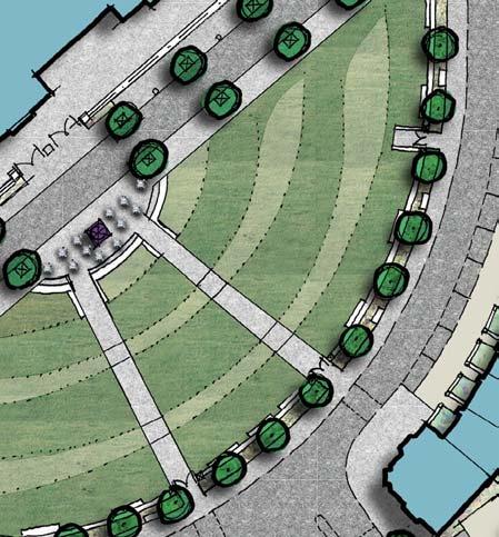
5 @ K S CD B CDS@HK A K CDS C K S D C detailed character areas sheet 2

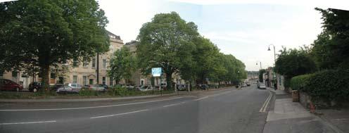
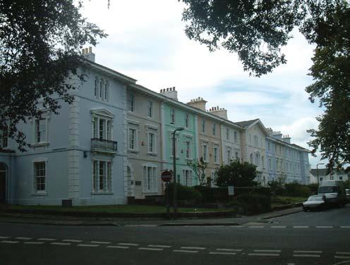
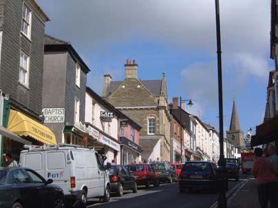
6 kennington frontages newton abbot bath see detail bath detailed area a: eastern gateway bath sheet 3


7 typical section A - A detailed area a: eastern gateway hennef main street sheet 4


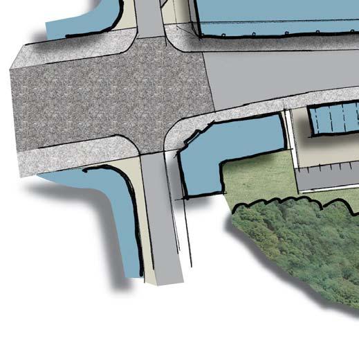

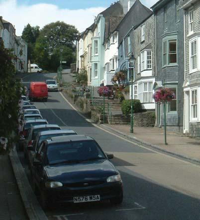
8 see detail (axo) typical section B - B detailed area b: sherford bridge sheet 5


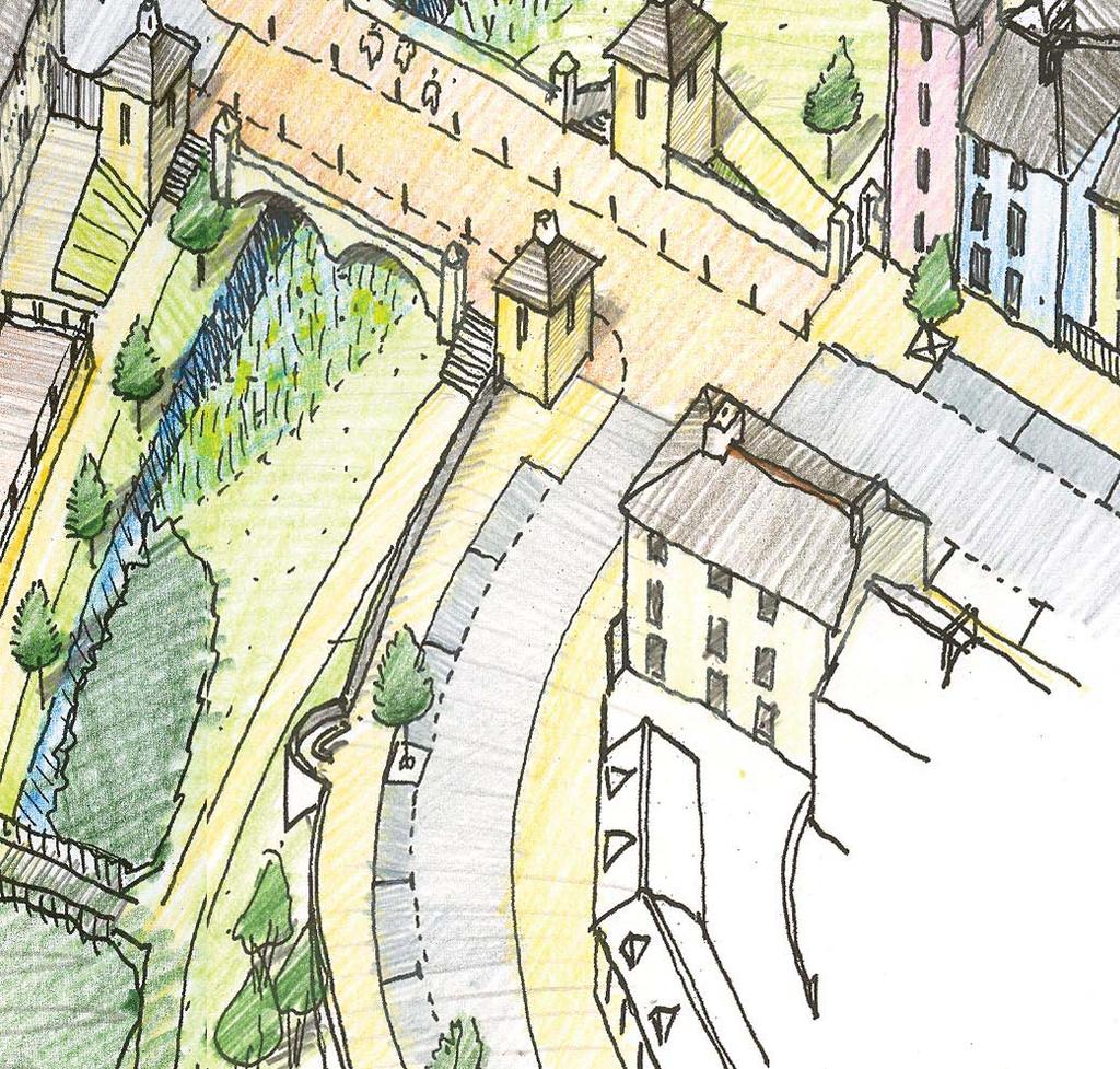
9 dartmouth collonade axonometric view detailed area b: sherford bridge sheet 6


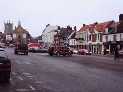
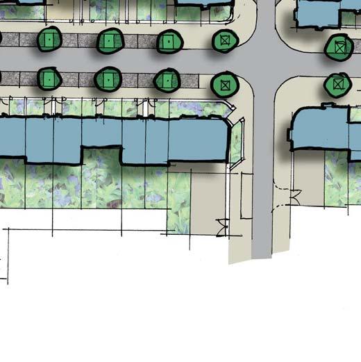
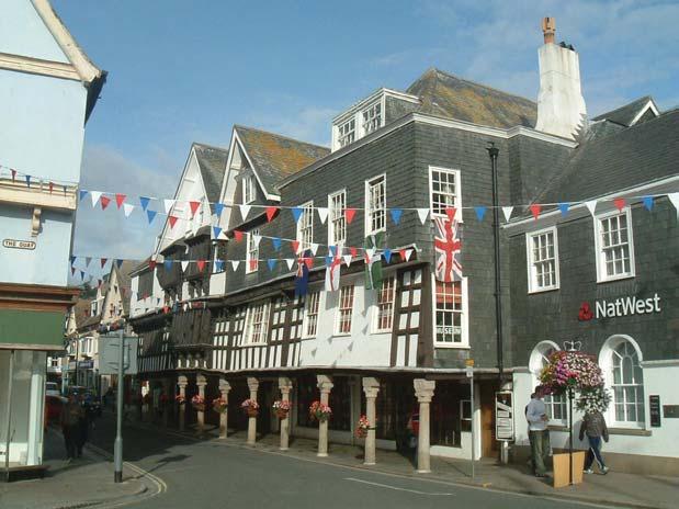
10 see detail modbury: raised pavement totnes: high street detailed area c: the high street variation in road widths marlborough: high street kingsbridge: high street sheet 7


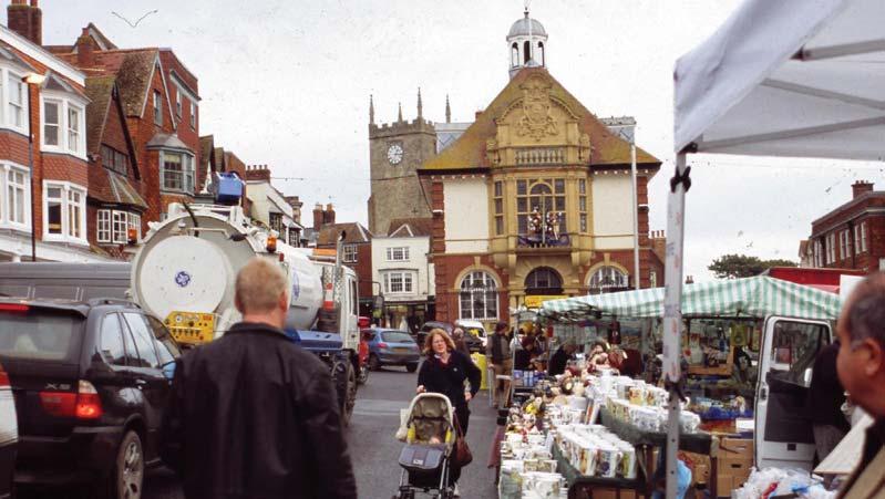

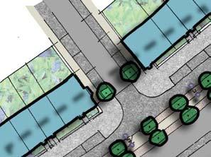
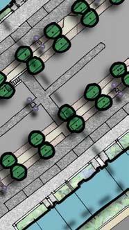
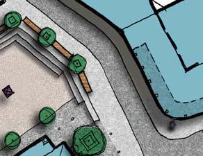
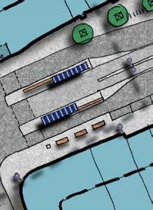
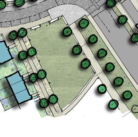
11 primary school collonade bus stop bus stop high street: view looking south town hall & market raised pavements high street: view looking east typical section C - C detailed area c: the high street marlborough: town hall sheet 8


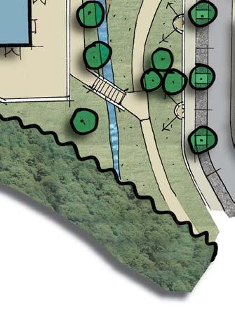
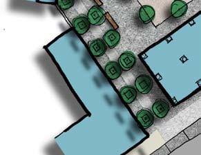
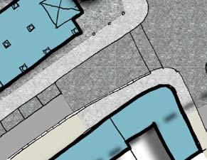
12 teignmouth sherford kiln secondary school sherford quarry teignmouth youth centre detailed area d: secondary school & bat corridor newton abbot sheet 9
Secondary School to Haye Road
 Secondary School to Haye Road The street continues as a 6.5m wide two-way carriageway with a bend to the right some 200m south of the secondary school. The junction at this bend allows the introduction
Main Street: Deep Lane Junction to Stanborough Cross. Sherford. main street. November 2006
 Sherford Main Street: Deep Lane Junction to Stanborough Cross main street Sherford November 2006 FOREWORD Red Tree (2004) LLP has submitted a planning application for Sherford to both South Hams District
Key Principles. 290 Phasing Principles and Programme
 4 Phasing principles and programme 4c The aims of the phasing strategy are to satisfy planning policy requirements and create a sustainable, strong and healthy new community where, from the outset, people
GREATER CAMBRIDGE CITY DEAL. Urban Design Guidance for Transport Infrastructure Projects
 GREATER CAMBRIDGE CITY DEAL Urban Design Guidance for Transport Infrastructure Projects KEY OBJECTIVES OF CITY DEAL The City Deal aims to help Greater Cambridge maintain and grow its status as a prosperous
Alma Road Rain Gardens, London
 Alma Road Rain Gardens, London SuDS used Rain gardens Permeable paving Tree planting Benefits 1. Location Reduction in flooding from intense rainfall. Reduced surface water pollution to receiving water
Streets for All East of England
 Streets for All East of England Summary In 2017 Historic England published an updated national edition of Streets for All, a practical guide for anyone involved in planning and implementing highways and
Public Consultation. Land at Monks Farm, North Grove. Welcome
 Welcome Welcome to our public exhibition for development on Land at Monks Farm, orth Grove. Gallagher Estates and Gleeson Strategic Land are preparing an outline planning application for new homes, open
GREENVALE CENTRAL PRECINCT STRUCTURE PLAN
 76 Conservation area boundary. Low Fence to exclude vehicles but allow pedestrian access Front boundary of allotment 5.0m MINIMUM SETBACK Path providing public access to dwellings fronting Conservation
BROWNFIELD REGENERATION LONDON
 P A V I N G CASE STUDY October 2015 Edition 2 Uniclass 572/1677 Public realm regeneration Iconic conservation area Shared surfaces Designing in detail BROWNFIELD REGENERATION www.paving.org.uk Introduction
97 Lea Bridge Road, Leyton, E10 7QL London Borough of Waltham Forest December 2015
 97 Lea Bridge Road, Leyton, E10 7QL London Borough of Waltham Forest December 2015 Public Realm and Landscape Proposals LEA BRIDGE ROAD, WALTHAMSTOW Public Realm & Landscape Proposals BDP(90)RPT001 December
East Grove Public Realm
 H - - MP - Elephant Park Public Realm RO EY DN NEW KENT ROAD E AC PL The public realm has been designed to create an environment which is easy to move through, accessible to all, safe and playful. The
Introduction. Welcome to this consultation regarding the draft redevelopment proposals for the former CeramTec factory on Sidmouth Road, Colyton.
 Introduction Welcome to this consultation regarding the draft redevelopment proposals for the former CeramTec factory on Sidmouth Road, Colyton. We are currently considering options for the mixed-use redevelopment
10 Proposed Redevelopment, Tewkesbury Road, Cheltenham SCHEME EVOLUTION STARBUCKS
 SCHEME EVOLUTION STARBUCKS The proposed Starbucks Drive Thru alongside the proposed food store provides an appropriate mix of uses, suitable for this location. The proposed store is bespoke, designed specifically
Proposed Amendment to the
 Proposed Amendment to the Carrigaline Electoral Area Local Area Plan Amendment No 1: Carrigaline (T-02, O-02 & U-02) August 2012 Proposed Amendment to the Carriagline Electoral Area Local Area Plan 2011
Sherford. Town Code. town code. Sherford
 Sherford Town Code Sherford town code November 2006 SHERFORD Town Code SEEING IS BELIEVING FOREWORD Red Tree (2004) LLP has submitted a planning application for Sherford to both South Hams District Council
Welcome - Halse Yard, Honiton
 Welcome - Welcome to this consultation regarding potential new Starter Homes on the Halse Farm Machinery site at West End, Honiton. The purpose of this exhibition is to provide the community with an early
Chapter 2: OUTLINE PLANNING APPLICATION PROPOSALS. A New Garden Neighbourhood Matford Barton 17
 Chapter 2: OUTLINE PLANNING APPLICATION PROPOSALS A New Garden Neighbourhood Matford Barton 17 2.1. SUMMARY AND STATUS OF THE PROPOSALS 2.1.1. The parameter plans and associated wording in this chapter
Welcome to our exhibition
 Welcome to our exhibition The Homes & Communities Agency (HCA) welcomes you to this public exhibition explaining our proposals for the redevelopment of the former Lea Castle Hospital site. About the Homes
BLETCHLEY PARK AREA - DEVELOPMENT FRAMEWORK
 ANNEX A To Item 9 REVISED TEXT: additions shown bold and underlined, deletions in (brackets and in italics). BLETCHLEY PARK AREA - DEVELOPMENT FRAMEWORK This framework sets out the key objectives and requirements
Phase 1C. Phase 2B. Phase 1A. Phase 1B. Phasing. Lighting. Phase 2A. Staff House Project. Library Project. p p
 11 Phasing 12 Lighting Lighting will play a key role in the success of the Green Heart redevelopment. The various public spaces will be used a great deal after dark, and in particular during the busy winter
RESIDENTIAL ROAD DESIGN GUIDE Rev 0 06/85. Residential Road. Design Guide
 Residential Road Design Guide CONTENTS Section 1 1.1 Principles of Design Section 2 2.1 Road Hierarchy Section 3 3.1 3A Local Distributor Road 3.5 3B Transitional Road Section 4 4.1 4A Collector Road 4.5
To the Lord Mayor and Report No. 312/
 To the Lord Mayor and Report No. 312/2017 Members of Dublin City Council Report of the Chief Executive Dublin City Council -----------------------------------------------------------------------------------------------------------
4 RESIDENTIAL ZONE. 4.1 Background
 4 RESIDENTIAL ZONE 4.1 Background The residential areas within the City are characterised by mainly lowrise dwellings sited on individual allotments. Past architectural styles, settlement patterns and
Replacement Golf Course Facilities and Residential Development, Churston. Environmental Statement Non-Technical Summary
 Replacement Golf Course Facilities and Residential Development, Churston Environmental Statement Non-Technical Summary July 2011 Reproduced from the Ordnance Survey s map with the permission of the Controller
Traffic management in historic areas
 Traffic Advisory Leaflet 1/96 January 1996 Traffic management in historic areas Introduction This leaflet highlights how traffic engineering and highway improvements can be designed sensitively in historic
Boundaries and Fencing
 Boundaries and Fencing Introduction 7.1 The purpose of this chapter of the design code is to establish design principles and parameters to guide the development and erection of site boundaries within the
Town Center (part of the Comprehensive Plan)
") Town Center (part of the Comprehensive Plan) Mercer Island Town Center Looking North (2014) In 1994, a year-long process culminated in a set of design guidelines and code requirements for the Town Center
Town Center (part of the Comprehensive Plan) Mercer Island Town Center Looking North (2014) In 1994, a year-long process culminated in a set of design guidelines and code requirements for the Town Center
Warren Farm, Ampthill
 1 Welcome The developers of the Warren Farm site, Bloor Homes and Connolly Homes, are holding this exhibition on the emerging Design Codes for the development prior to their formal submission to Central
Colchester Northern Gateway Master Plan Vision Review Draft. July 2016
 Colchester Northern Gateway Master Plan Vision Review Draft July 2016 Contents Introduction 4 Context 8 Purpose of the Report 8 Strategic Position 9 Overview of the Process 11 2012 Master Plan Vision 12
Welcome. Site/11/04. Site/11/03. Proposed Site. 11,400 new homes needed in east Cambs
 Welcome Welcome to our consultation on our proposals for new homes on land north east of Soham Road, Fordham. Members of the project team are available to answer any questions you have and listen to feedback.
STATEMENT OF OBJECTION TO THE PROPOSED DEVELOPMENT OF LAND AT CHURCH CLIFF DRIVE FILEY
 STATEMENT OF OBJECTION TO THE PROPOSED DEVELOPMENT OF LAND AT CHURCH CLIFF DRIVE FILEY You will be aware that Scarborough borough council have adopted a new local plan that includes land at Church Cliff
8.0 Design and Form of Development 43/
 42/ 8.0 Design and Form of Development 43/ Rothwells Farm, Golborne/ Development Statement Figure 7. Site Constraints Key 44/ Site Boundary 360 Bus Route/Stops Existing Trees Underground Water Pipe Sensitive
Urban Design Manual PLANNING AROUND RAPID TRANSIT STATIONS (PARTS) Introduction. Station Study Areas
 Introduction. Station Study Areas") 111111 PLANNING AROUND RAPID TRANSIT STATIONS (PARTS) Introduction The ION rapid transit system will link Waterloo, Kitchener and Cambridge through a central transit corridor (CTC). There are a number
111111 PLANNING AROUND RAPID TRANSIT STATIONS (PARTS) Introduction The ION rapid transit system will link Waterloo, Kitchener and Cambridge through a central transit corridor (CTC). There are a number
paving case study GREAT WESTERN PARK DIDCOT OXFORDSHIRE
 October 2013 Uniclass L534:L217 SuDS Management Train Permeable Paving Master-planning Major Development Shared Surfaces paving case study GREAT WESTERN PARK DIDCOT OXFORDSHIRE www.paving.org.uk Introduction
3.1 The hybrid planning application proposes the following description of development:
 CHAPTER 3: PROPOSED DEVELOPMENT 3.1 The hybrid planning application proposes the following description of development: Hybrid (part-outline/part-full) planning application for a single composite development
Wolverton Public Realm Design Manual DRAFT
 Urban Design & Landscape Architecture Wolverton Public Realm Design Manual DRAFT www.milton-keynes.gov.uk/urbandesign Wolverton Public Realm This document has been prepared by Milton Keynes Council s Urban
UTT/16/1466/DFO GREAT DUNMOW MAJOR
 UTT/16/1466/DFO GREAT DUNMOW MAJOR PROPOSAL: LOCATION: APPLICANT: AGENT: Reserved matters approval for the accesses to the site and principal roads within the site including spine road following outline
Welcome to our public exhibition
 About our development Welcome to our public exhibition This exhibition gives you the chance to view and comment on our proposals for a new residential development of 165 high-quality homes, along with
4. MASTERPLAN FRAMEWORK
 6a 6b 4. MASTERPLAN FRAMEWORK 6. Car Parks 6c Car Parks 6a and 6b will provide permanent parking. Area 6a will serve the foodstore with tarmac surfacing within a defined area to the west of the adjacent
The Site. Welcome to the public exhibition for Boothferry Road, Hessle.
 LINDEN HOMES Welcome to the public exhibition for Boothferry Road, Hessle. We would like to hear your views about our proposals before we submit a planning application later this year. If there is anything
Appendix H: Easement cross sections
 Appendix H: Easement cross sections SHARED PATH 1.5m FOOTPATH NATURE STRIP 7.3m CARRIAGEWAY 2.7m NATURE STRIP EXISTING PIPELINE 150mm DIA 5.0m (approx.) LOCAL ACCESS ROAD EXISTING PIPELINE 500mm DIA 2.7m
Welcome to our Public Consultation
 About our development This exhibition gives you the chance to view and comment on our emerging plans for a proposed residential development located on land to the West of Alwyn Road, Rugby. Welcome to
Derry City and Strabane District Council Planning Committee Report. Amended layout from approval A/2004/0462/F with reduction from 166 units
 Derry City and Strabane District Council Planning Committee Report COMMITTEE DATE: 1 st February 2017 APPLICATION No: APPLICATION TYPE: PROPOSAL: LOCATION: APPLICANT: AGENT: Full Planning application Amended
Construction of the A30 Bodmin India Queens Improvement
 Construction of the Bodmin India Queens Improvement This case study involved the construction of the Bodmin-India Queens Improvement Scheme. The scheme upgraded this section of the to dual carriageway
medium desnity housing
 This section updated September 2013 This part of the Plan sets out the assessment criteria for medium density housing. The criteria are designed to give designers and builders flexibility and to provide
Former North Works, Lickey Road, Longbridge, Birmingham
 Committee Date: 14/11/2013 Application Number: 2013/06431/PA Accepted: 27/08/2013 Application Type: Full Planning Target Date: 26/11/2013 Ward: Longbridge Former North Works, Lickey Road, Longbridge, Birmingham
Making the case for Sustainable Transport Project Potential
 Making the case for Sustainable Transport Project Potential The Structural Investment Fund (SIF) Strategy for Greater Lincolnshire identifies the barriers to growth identified by having poor transport
West Blackhall Street Public Realm Public Exhibition
 West Blackhall Street Public Realm Public Exhibition Welcome Introduction Thank you for coming to this public engagement, your input is sought to help to deliver high quality public realm improvements
GUIDELINES BAYVIEW INSTITUTIONS CONTEXT PLAN LOCATION PLAN COMPONENTS URBAN DESIGN GUIDELINES
 Development in the Bayview Sunnybrook area will be consistent with the following urban design guidelines. They provide a framework for development in the area and are to be read in conjunction with the
6.0 Access & Maintenance
 Design and Access Statement April 2017 125 6.1 Inclusive Design - Site This proposal has been designed with consideration of the principles of inclusive design, as to be as inclusive as possible including
Figure 12: St Andrews, Bow 14 TOWNSHEND LANDSCAPE ARCHITECTS
 Figure 12: St Andrews, Bow 14 TOWNSHEND LANDSCAPE ARCHITECTS 2.4 COURTYARD The courtyard of Building 12S will act as the main amenity space for the residents of this building. Built in the centre of the
North Somerset Council Local Development Framework
 North Somerset Council Local Development Framework Sites and Policies Development Plan Document Evidence Paper Re-opening Portishead Railway Line and Options for the Location of Portishead Railway Station
(blank page) WestConnex New M Roads and Maritime Services Environmental impact statement
 WestConnex New M Roads and Maritime Services Environmental impact statement") (blank page) WestConnex New M5 5-42 (blank page) WestConnex New M5 5-44 5.5 Tunnels 5.5.1 Main alignment tunnels The main alignment tunnels would be about nine kilometres long, with the western tunnel
(blank page) WestConnex New M5 5-42 (blank page) WestConnex New M5 5-44 5.5 Tunnels 5.5.1 Main alignment tunnels The main alignment tunnels would be about nine kilometres long, with the western tunnel
The journey so far. The new masterplan for Dargavel Village
 The journey so far Our vision for Dargavel Village began over ten years ago when the original masterplan for transforming the former Royal Ordnance Factory site into a thriving community was established.
Section 4 - Public Realm & Landscape proposals Landscape Masterplan. Section 4 52
 - Public Realm & Landscape proposals Landscape Masterplan 52 Proposed Masterplan - Green Infrastructure Strategy District Park 4.33 Ha to provide Passive and active recreation with a large play area which
Newcourt Masterplan. November Exeter Local Development Framework
 Newcourt Masterplan November 2010 Exeter Local Development Framework Background The Exeter Core Strategy Proposed Submission sets out the vision, objectives and strategy for the development of Exeter up
Chapter 27 Route Window SE7 Church Manorway Bridge. Transport for London
 Chapter 27 Route Window SE7 Church Manorway Bridge Transport for London CHURCH MANORWAY BRIDGE 27 Route Window SE7 Church Manorway bridge Introduction 27.1 The North Kent Line will be converted to four
RE: AMENDMENT C375 GEELONG PLANNING SCHEME 1900 BARWON HEADS ROAD, BARWON HEADS
 Reference: #V157080 14 August 2018 Barwon Heads Lifestyle Group Pty Ltd C/- Best Hooper Lawyers Level 9, 451 Little Bourke Street MELBOURNE VIC 3000 Attention: Mr. Edward Mahony (Lawyer) Dear Edward RE:
Welcome to our public exhibition
 About Our Scheme Welcome to our public exhibition This exhibition gives you the chance to view and comment upon our emerging proposals for a new residential development of 68 new homes on the site of the
CALA Homes is preparing a planning application for a development of up to 36 new homes, including a mix of properties to meet local demand.
 WELCOME Welcome to this public consultation event for our proposed development on land to the south of Twelve Leys in Wingrave. Thank you for taking the time to come along today. Homes is preparing a planning
I539. Smales 2 Precinct
 I539. Smales 2 Precinct I539.1. Precinct Description The Smales 2 Precinct applies to a 4.8 hectare block of land located on the southern side of Northcote Road and fronting Lake Pupuke, Takapuna. The
SOUTH EAST LINCOLNSHIRE LOCAL PLAN: HOUSING PAPER DONINGTON (JUNE 2016)
") SOUTH EAST LINCOLNSHIRE LOCAL PLAN: HOUSING PAPER DONINGTON (JUNE 2016) 1 DONINGTON S PLACE IN THE SPATIAL STRATEGY 1.1 Policy 2 of the South East Lincolnshire Local Plan 2011-2036 Draft for Public Consultation
SOUTH EAST LINCOLNSHIRE LOCAL PLAN: HOUSING PAPER DONINGTON (JUNE 2016) 1 DONINGTON S PLACE IN THE SPATIAL STRATEGY 1.1 Policy 2 of the South East Lincolnshire Local Plan 2011-2036 Draft for Public Consultation
Urban Design Guidelines
 Urban Design Guidelines These Urban Design Guidelines comprise the Key Design Objectives below, the Roads Design Guidelines overleaf and Neighbourhood Framework Plans. Together with Section 3: Urban Design
1. Local Plan Context
 1. Local Plan Context WHY ARE YOU HERE? ABOUT US PLANNING APPLICATION CONSULTATION Stewart Milne Homes are in the process of preparing a detailed planning application for a development of approximately
WELCOME. Welcome and thank you for visiting today.
 WELCOME Welcome and thank you for visiting today. Bellway Homes Ltd (Yorkshire) are preparing a reserved matters planning application for a residential development of 293 homes at land North of Yew Tree
Urban Stormwater: Best Practice Environmental Management Guidelines. CSIRO This electronic edition published by CSIRO PUBLISHING, 2006.
 Urban Stormwater: Best Practice Environmental Management Guidelines. Chapter 5 Water Sensitive Urban Design Key references Department of Planning, 1993, Better Drainage: Guidelines for the Multiple Use
FANSHAWE PARK ROAD/RICHMOND STREET INTERSECTION IMPROVEMENTS. PUBLIC INFORMATION CENTRE 2 June 16, 2016
 FANSHAWE PARK ROAD/RICHMOND STREET INTERSECTION IMPROVEMENTS Municipal Class Environmental Assessment PUBLIC INFORMATION CENTRE 2 June 16, 2016 ACCESSIBILITY Under the Accessibility Standards 2015 for
Planning Application S.08/0408/FUL Proposed Development at Bath Road, Leonard Stanley. Response from Leonard Stanley Parish Council.
 Planning Application S.08/0408/FUL Proposed Development at Bath Road, Leonard Stanley Response from Leonard Stanley Parish Council Objection The Parish Council and the community of Leonard Stanley accept
2.5 Roads. Loading and service areas adjacent to Highway 401 should be screened through architectural walls and/or landscape buffer planting.
 N HIGHWAY OFF RAMP 2.5 Roads A legible road network with a clear hierarchy will help create a connected community, both within and surrounding the Milton Heights. The following section outlines the proposed
Clairtrell Area Context Plan
 Clairtrell Area Context Plan March 2005 Urban Development Services City Planning Contents 1. Introduction... 4 2. Development Structure... 6 2.1 Streets... 7 2.1.1 Sheppard Avenue and Bayview Avenue...
It is recommended that the Committee resolve to APPROVE the application and grant planning permission subject to the following conditions:
 LOCATION: Phase 2A Millbrook Park (Site of Former Inglis Barracks), Mill Hill East, London, NW7 1PZ REFERENCE: H/04606/12 Received: 04 December 2012 Accepted: 17 December 2012 WARD: Mill Hill Expiry: 18
appendix and street interface guidelines
 appendix five: building and street interface guidelines appendix 5 building and street interface guidelines BOULEVARDS Boulevards are generally characterized by higher levels of traffic movement at higher
Chapter 24 Route Window SE5 Arsenal Way shaft. Transport for London
 Chapter 24 Route Window SE5 Arsenal Way shaft Transport ARSENAL WAY SHAFT 24 Route Window SE5 Arsenal Way shaft Introduction Transport 24.1 South of the River Thames (see Route Window SE4), the tunnel
Chapter 7 Route window W20 Dover Road and Leigh Road bridges. Transport for London
 Chapter 7 Route window W20 Dover Road and Leigh Road bridges Transport for London ROUTE WINDOW W20 7 Route window W20 Dover Road and Leigh Road bridges Transport for London 7.6 7.7 7.8 Baseline conditions
1. Creating a liveable, vibrant, safe and inclusive city centre for the benefit of people of all ages to live, work, learn and enjoy.
 City Centre Framework - Summary Bristol City Council has produced a draft City Centre Framework document. The Framework is a planning and transport document that outlines what the city centre could be
Site 5 Development Brief
 Union Street Crichton Street South Crichton Street Thomson Avenue (Northern Boulevard) Site 5 South Union Street Earl Grey Place West Site 6 Riverside Esplanade (Southern Boulevard) South Crichton Street
Draft Ada Street Cardiff Area Plan
 Draft Ada Street Cardiff Area Plan (Draft Amendment to Lake Macquarie Development Control Plan 2014) Exhibition: The draft Area Plan is on public exhibition from 29 February 2016 to 29 March 2016. Submissions:
Story Homes. Land at Thirsk Road, Kirklevington. An Introduction to Story Homes. Our Foundations. Commitment to Consultation.
 Story Homes An Introduction to Story Homes Founded by Fred Story in 1987, Story Homes has a long and successful reputation of building high quality and high specification homes. The family owned business
Ward: West Wittering. Proposal Change of use from public highway pavement to residential garden use.
 Parish: West Wittering Ward: West Wittering WW/17/03295/FUL Proposal Change of use from public highway pavement to residential garden use. Site Izora 1 Watersedge Gardens West Wittering PO20 8RA Map Ref
Asbury Chapel Subdivision Sketch Plan
 Asbury Chapel Subdivision Sketch Plan PART 1: PROJECT SUMMARY Applicant: NVR Inc. Project Size: +/- 76.13 acres Parcel Numbers: 02101112,02116101,02116112, 02116113 Current Zoning: Transitional Residential
Special Landscape Area (Great Orme and Creuddyn Peninsular). Agricultural land (grade 3a). TPO A14 (1982) - group of trees (G4) on east boundary.
. Agricultural land (grade 3a). TPO A14 (1982) - group of trees (G4) on east boundary.") TAN 24 and TAN 5: Technical Advice Note (TAN) 24: The Historic Environment (2017) Guidance on how the planning system considers the historic environment during development plan preparation and decision
TAN 24 and TAN 5: Technical Advice Note (TAN) 24: The Historic Environment (2017) Guidance on how the planning system considers the historic environment during development plan preparation and decision
Statement of Community Involvement LAND OFF SOUTHDOWN ROAD HORNDEAN, HAMPSHIRE
 LAND OFF SOUTHDOWN ROAD HORNDEAN, HAMPSHIRE CONTENTS Page 1. Introduction 3 2. Pre-application Discussions 4 3. The Consultation Process 5 4. Consultation Feedback 7 5. Responses to Consultation Feedback
Proposed for Vic West Neighbourhood Plan. Design Guidelines for Intensive Residential Development - Townhouse and Attached Dwelling
 Proposed for Vic West Neighbourhood Plan Design Guidelines for Intensive Residential Development - Townhouse and Attached Dwelling Design Guidelines for Intensive Residential Development - Townhouse and
I615. Westgate Precinct
 I615. Westgate Precinct I615.1. Precinct Description The Westgate Precinct is located approximately 18km west of the Auckland city centre. There are seven Sub-precincts in the Westgate Precinct: Sub-precinct
Thank you for sparing the time to visit our exhibition and to provide us with your feedback on our proposals displayed here today.
 WELCOME Aerial image of the application site in context Thank you for sparing the time to visit our exhibition and to provide us with your feedback on our proposals displayed here today. Plymouth City
St. Clair Avenue West Area Transportation Master Plan
 1 (Between Keele Street and Old Weston Road) Public Information Centre 1 December 2, 2015 2 Welcome Welcome to the first Public Information Centre for the St. Clair Avenue West Area. The panels will present
University Park, Worcester Non Technical Summary December 2011
 University Park, Worcester Non Technical Summary December 2011 Introduction UW Wrenbridge LLP, a Joint Venture Company of the University of Worcester and Wrenbridge Land Ltd (the Applicants ) intend to
Housing development on the edge of Forres
 Project Reference Dallas Dhu Details Housing development on the edge of Forres Location Forres, Moray Use Type Housing / Masterplan Client/Developer Sir Alastair Gordon-Cumming, Altyre Estate Lead Designers
Site ref: AS06 Site Name or Address: Murreys Court, Agates Lane
 Site ref: AS06 Site Name or Address: Murreys Court, Agates Lane Proposed Land Use: Total Site Area (Ha): Housing 1.85 Ha Description: It is understood that the owner has no plans to dispose of the site
Derry City and Strabane District Council Planning Committee Report
 Derry City and Strabane District Council Planning Committee Report COMMITTEE DATE: 23 rd March 2016 APPLICATION No: APPLICATION TYPE: PROPOSAL: LOCATION: APPLICANT: LA11/2015/0395/F Residential Development
MATURE SUBURBS RESIDENTIAL DEVELOPMENT GUIDELINES
 MATURE SUBURBS RESIDENTIAL DEVELOPMENT GUIDELINES DRAFT FEBRUARY 2005 BIRMINGHAM CITY COUNCIL 1 Introduction Mature Suburbs Residential Development Guidelines - Interim Supplementary Planning Advice -
Proposed Stage One Proposed Stage (Pending) Staging. Blenheim CBD Streetscape Final Report 50
 Staging. Blenheim CBD Streetscape Final Report 50") 51 60 Proposed Stage One Proposed Stage (Pending) Final Report 50 Proposed The order of the staging was discussed at length with the project team, community groups, council staff, Marlborough Roads and
51 60 Proposed Stage One Proposed Stage (Pending) Final Report 50 Proposed The order of the staging was discussed at length with the project team, community groups, council staff, Marlborough Roads and
AOTEA SUPERMARKET ZONE. Zone Introduction
 C18 AOTEA SUPERMARKET ZONE Zone Introduction C18.1 Objective This zone identifies a specific area in Aotea for a stand alone supermarket. The zone is site specific and has a range of objectives, policies
EHTF & Streetscape. Context. Streetscape: a definition. What function? More context. Ian Poole
 EHTF & Streetscape Ian Poole St Edmundsbury Borough Council & English Historic Towns Forum Streetscape: a definition Streets, squares, parks, courtyards, alleys and malls The spaces between buildings Public
PDP DESIGN & ACCESS STATEMENT
 PDP The Planning & Design Partnership Planning.. Architecture.. Interiors.. Landscape The Chicory Barn Studio, The Old Brickyards, Moor Lane, Stamford Bridge York, The East Riding Of Yorkshire, YO41 1HU.
Stratford Neighbourhood Plan Questionnaire
 Stratford Neighbourhood Plan Questionnaire Please tick the appropriate box or answer in the space provided. If you require further copies of the questionnaire, as more than one person in the household
SOUTH CAMBRIDGESHIRE DISTRICT COUNCIL. Planning and New Communities Director
 SOUTH CAMBRIDGESHIRE DISTRICT COUNCIL REPORT TO: Planning Committee 9 January 2013 AUTHOR/S: Planning and New Communities Director S/2270/12/FL FEN DRAYTON 850m long flood defence embankment ranging in
Calderdale the Next Chapter
 Calderdale the Next Chapter Investing in transport, public spaces and businesses Our vision is all about creating a place where people want to live, visit, study and work. A place where businesses want
PUTTING THE HEART INTO BATTERSEA. A vision
 PUTTING THE HEART INTO BATTERSEA A vision INTRODUCTION This document is a vision for creating a Battersea that its community can be proud of and it is about putting Battersea on the map. It is being proposed
edge of gas line corridor setback edge of gas line corridor aligned with Schlumberger building 37.0 m AOD 33.0 m AOD max
 7. Heights and Street Frontage: In accordance with the approved heights parameters, heights to along Western Access Road must respond to the existing low density character in this location. Heights are