STORMWATER TOOL BOX 4.1
|
|
|
- Erika Thompson
- 5 years ago
- Views:
Transcription


1 STORMWATER TOOL BOX 4.1 Median Significant portions of the median will incorporate lowland areas to receive stormwater runoff from one or both sides of the street depending on the final road cross section. Sidewalk Planters The furnishing zone of the sidewalk will integrate stormwater treatment facilities. The location and quantity depends on the final road cross section. Off-Site Locations Addition areas for stormwater treatment may be necessary depending on the final road cross section. They can also be integrated into expanded sidewalk areas to feature sustainability principles at public gathering spaces. Pervious Paving An element from the LGVCP. This probably needs an expanded area to work, like at a pearl. Question: Comments?
 Median Upland Furnishing Zone Stormwater Furnishing Zone Upland As we begin to move towards selecting a more")


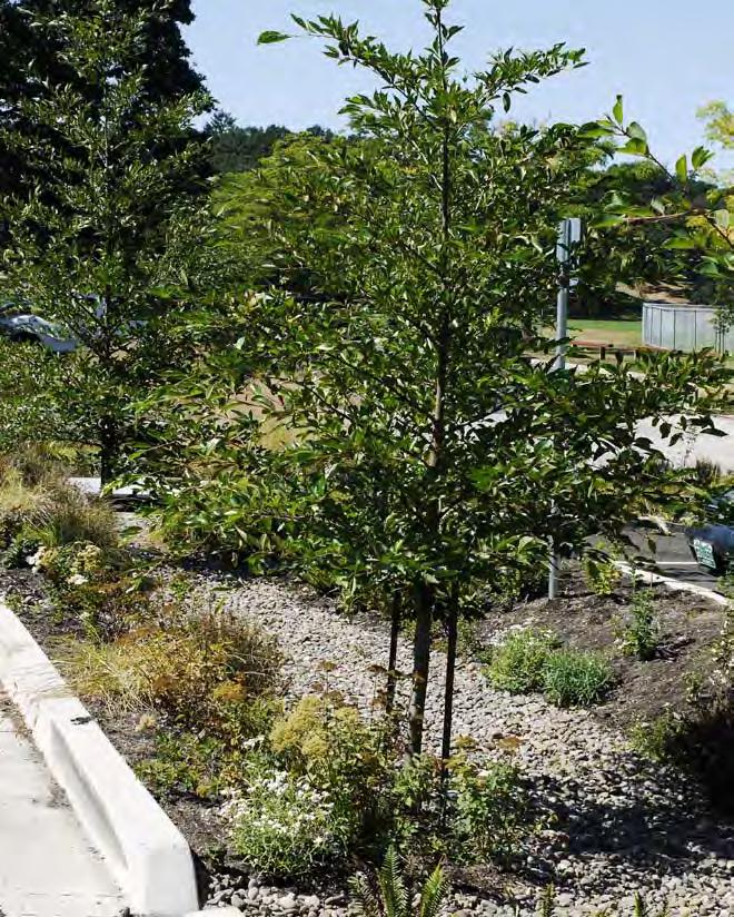
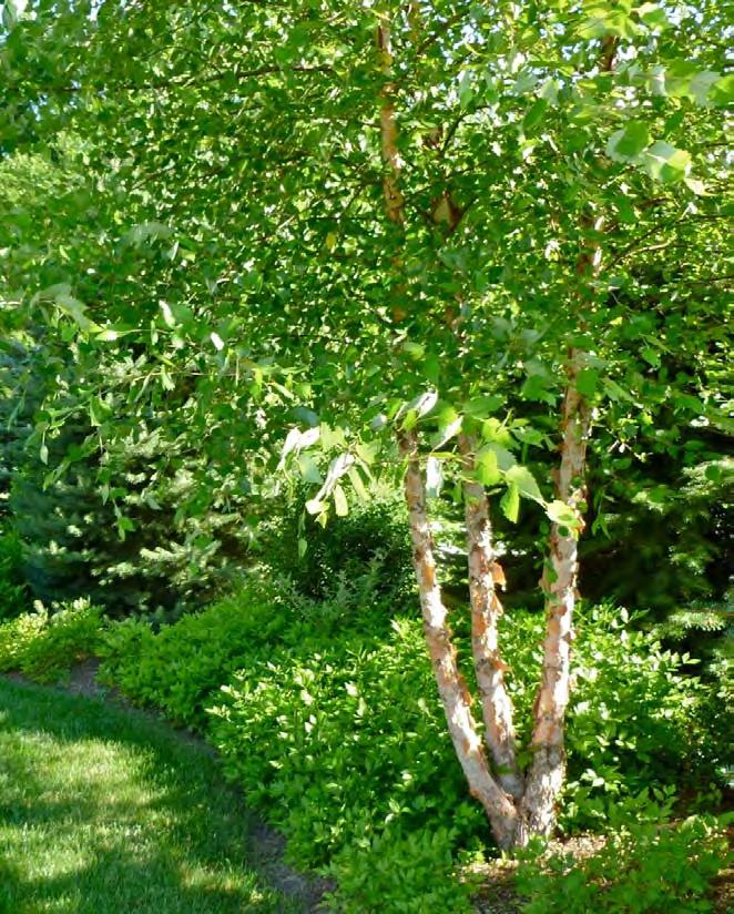
2 STORMWATER PLANTING DESIGN 4.2 Three Planting Types We are focusing on a natives plus plant pallette as directed earlier in the process. We have a few different conditions to work with: Median Stormwater (Low and et areas) Median Upland Furnishing Zone Stormwater Furnishing Zone Upland As we begin to move towards selecting a more defined plant pallette, think about how the planting design should reinforce the identity of the corridor. Questions: What do you want the character / feel of the plant design to be? Should the upland and stormwater zones be similar feeling or different? Should the median and furnishing zone plantings have a similar feeling or not? (If the road cross section allows it) Native / Natural Feel Informal / naturalistic plant layout Greater variety in plant sizes Taller understory More deciduous plants Emphasis on bark and texture Greens and browns are prevalent This is similar to the concept suggested by the refinement plan. Elevation Diagram Plan Diagram Farm / Cultivated Feel Varying plant layouts, some rows or groups, some more naturalistic layout. Focus on Flower - Foliage - Fruit A couple of understory heights, row crop / groundcover height and a low shrub height. A pronounced shift in seasonality, growing season and fallow season. Elevation Diagram Plan Diagram Contemporary / Modern Feel Structured plant layout Clean lines and modest plant heights Blocks or drifts of plants Focus on functional plants Grasses, sedges and low shrubs. Elevation Diagram Plan Diagram


3 TIGARD MAIN STREET 4.3 We assume the PAC members have visited this recently completed project. Applicable elements for the BFR project would be: 1 - Linear swales in the furnishing zone. These are wider than what BFR will have room for within the standard 9 sidewalk. 2 - Plant species and planting character 3 - Structure design, maybe. The streetscape has art elements integrated with the lighting. Question: What do you think about the lighting / artwork? Burnham Street


4 124th TUALATIN 4.4 We assume the PAC members have visited this recently completed project. Works very similar to the shed road cross section under consideration for BFR, the median treats the higher half of the road and the lower half is treated in the planter strip / furnishing zone next to the sidewalk. Planting design uses a small pallette of common plants (both stormwater selections and upland appropriate in repetitive patterns. Question: What is your least favorite part of this design?


")


5 DIVISION STREET 4.5 Integrates stormwater facilities in curb extensions and furnishing zones along corridor. Original plant palette was more ambitious, refined (reduced variety) by BES during review. Crosswalks integrated with facilities, this could be used at BFR at the median pedestrian crossings. Art elements integrated with stormwater facilities. Narrow facilities along south side would be similar to BFR sidewalk furnishing zone facilities.


6 SANDY BLVD. 4.6 BENCHES EXISTING CONIFER TREES TO REMAIN STORM WATER FOCAL POINT ACCESS BRIDGE OVER STORMWATER NEW TREES CONCRETE SEAT WALL WELLS FARGO BANK RELOCATED DRINKING FOUNTAIN ON-STREET PARKING RELOCATED MEMORIAL PLAQUE STORMWATER INLET, TYP. N.E. 42ND AVE. PARKERS JEWELRY CENTRAL PLAZA STORMWATER AREA, TYP. BURGER BAR INFORMATION KIOSK EXISTING TREES RELOCATED TABLES NOT TO SCALE N.E. SANDY BLVD. Created larger rain gardens at intersections by removing unnecessary road paving. Also creates public open space ( some would be more utilized as public space when adjacent properties redevelop to a more compatible use). If BFR needs additional treatment area, rain gardens can be integrated in expanded sidewalk areas (LO acquires private property).


7 MONTGOMERY GREEN ST. 4.7 Linear spine of stormwater facilities that help reinforce an east-west pedestrian corridor through the heart of the PSU campus. The narrow facilities fit into the pedestrian environment appearing more like landscape elements rather than deep stormwater facilities. Keeping them shallow at the surface was the key, but they have capability to handle the entire plaza surface runoff. Plantings are simple, but planted densely to provide lush greenery. Quaking Aspen trees were used and adapted quickly, but may have long-term stability problems in an artificial environment of a treatment facility.


 Lake Oswego will adopt the Portland BES")


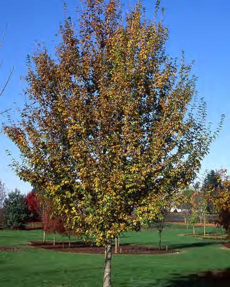
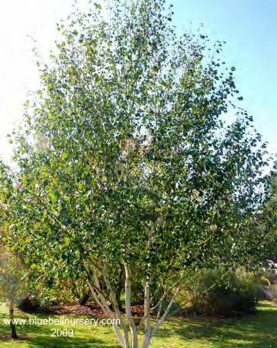
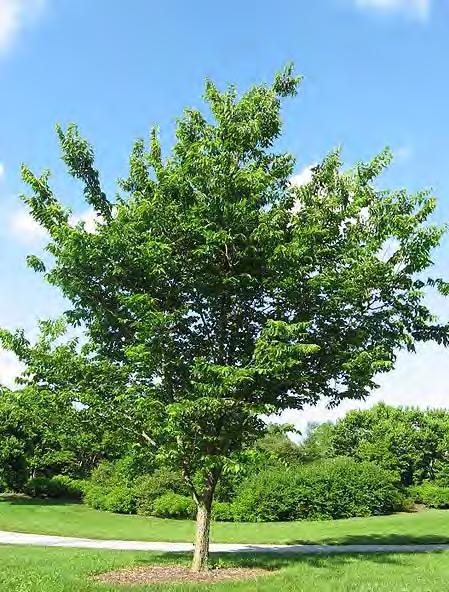
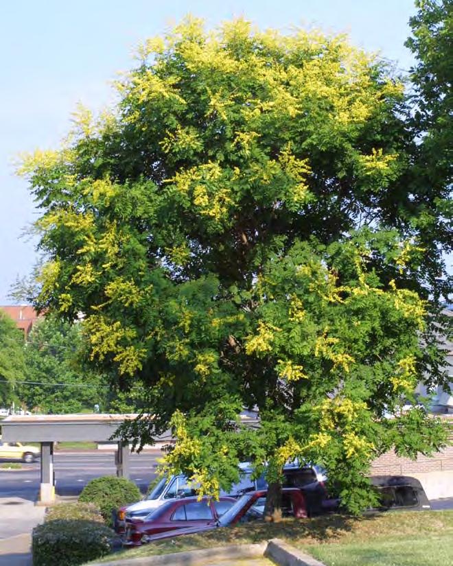
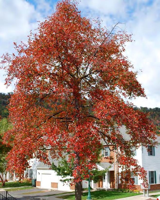
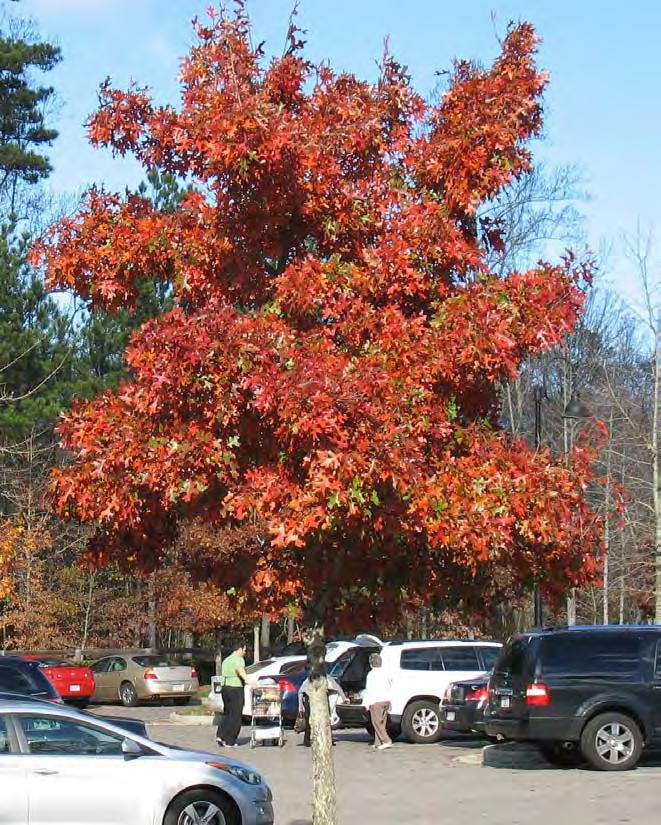
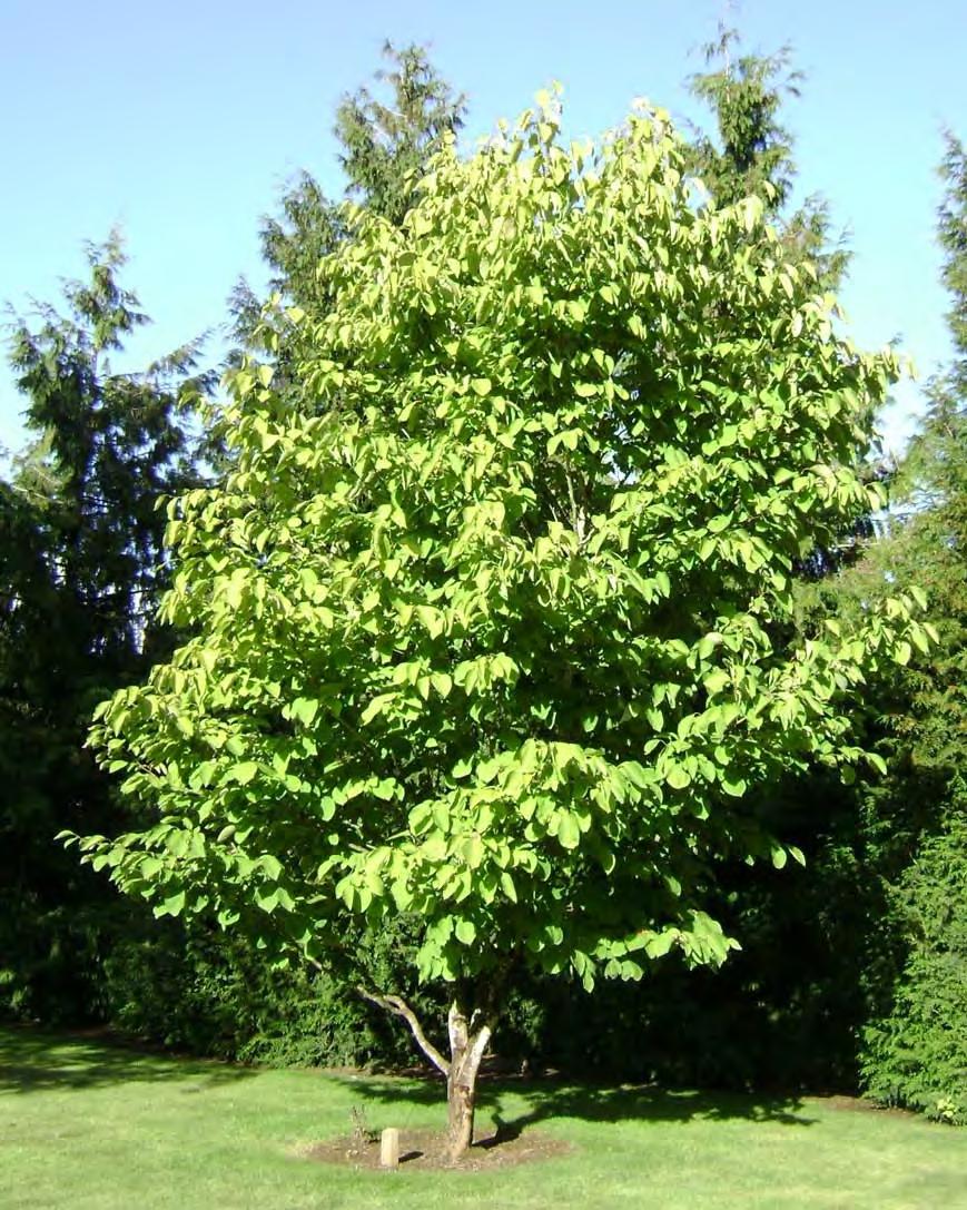
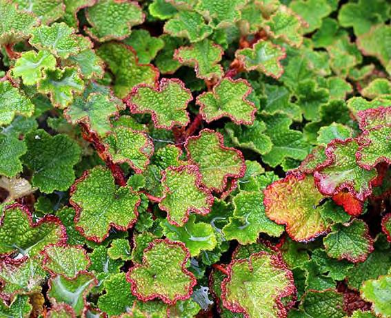
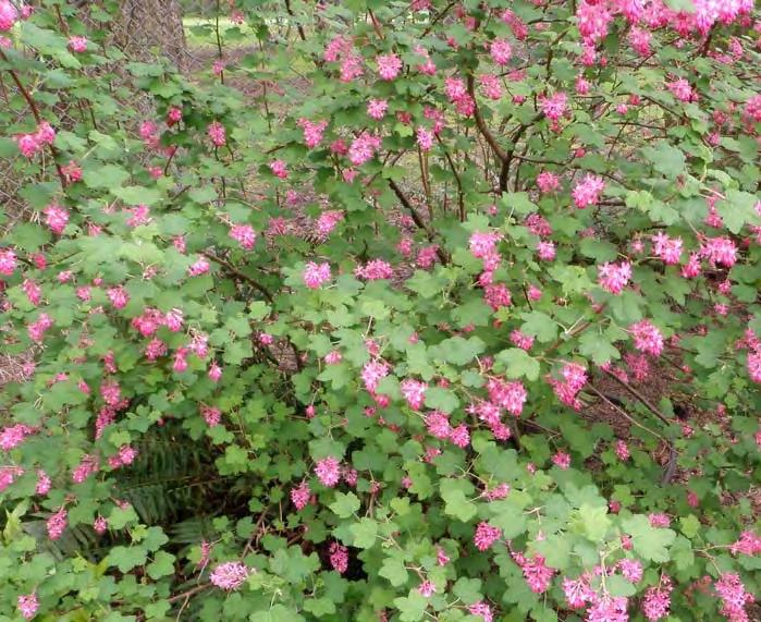
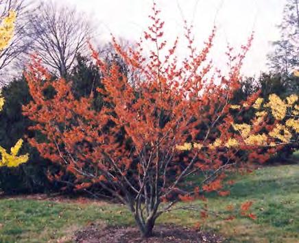
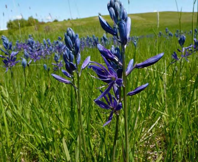
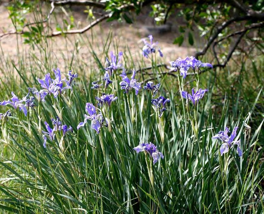
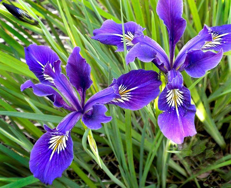
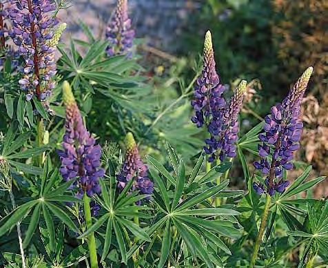
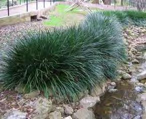
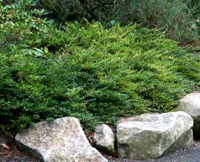
8 STORMWATER FACILITY PLANTS 4.8 Trees: Elizabeth Hedge Maple Jacquemontii Birch Hackberry Goldenrain Tree Black Tupelo Canada Red Chokecherry Shumard Oak Cascara Herbaceous Plants: Dense Sedge Ice Dance Carex Slough Sedge Tufted Hairgrass Blue Oat Grass Spreading Rush Shrubs: Kelsey Dogwood Boxleaf Euonymous Mahonia nervosa Birchleaf Spiraea Japanese Spiraea Groundcovers: Kinnickinnick Coast Strawberry Mahonia repens Creeping Bramble Accent Plants: Great Camas Common Camas Douglas Iris Oregon Iris Additional Plant Ideas Discussion/question: 1) Lake Oswego will adopt the Portland BES plant list for stormwater facilities as a base list and add other plants for character in there updated manual. What do you think of the plant list? Lupine Honeysuckle 2) General comment and discussion Liriope Pearly Everlasting
9 PORTLAND GREENSTREET TREE LIST 4.9 Elizabeth Hedge Maple Jacquemontii Birch Hackberry Goldenrain Tree Black Tupelo Canada Red Chokecherry Shumard Oak Cascara - Native!

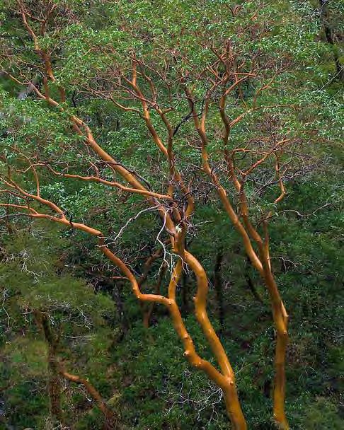
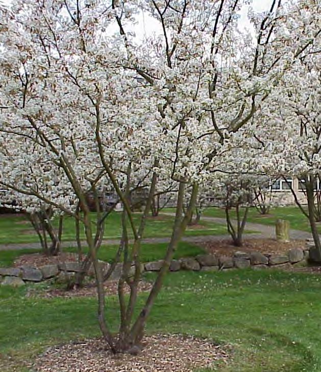
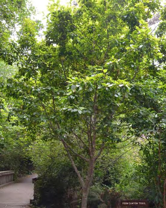
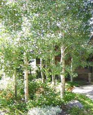
10 POTENTIAL STORMWATER TREES 4.10 Madrone / Hybrids Cascara Serviceberry Aspens River Birch White Alder POTENTIAL ICONIC TREES Oregon Oak Incense Cedar Western Hemlock


11 PORTLAND GREENSTREET PLANT LIST 4.11 Dense Sedge Ice Dance Carex Slough Sedge Tufted Hairgrass Blue Oat Grass Spreading Rush Kelsey Dogwood Boxleaf Euonymous Leatherleaf Mahonia Birchleaf Spirea Japanese Spirea Kinnikinnick Coast Strawberry Creeping Mahonia Creeping Bramble
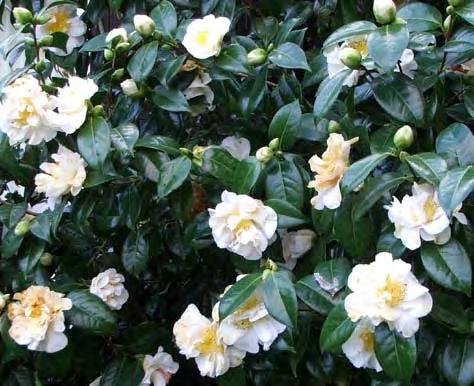
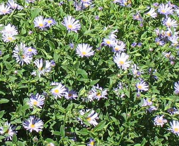
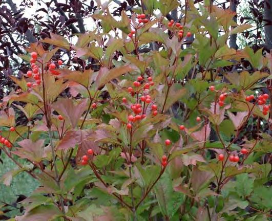

12 PORTLAND GREENSTREET PLANTS AND OTHERS Camas Douglas Iris Oregon Iris Lupine Honeysuckle Liriope Pearly Everlasting Douglas Aster Highbush Cranberry Wintercurrants Camellia Coneflower Flowering Quince Hybrid Mahonia Diane Witchazel


13 PORTLAND MEDIAN TREES AND VIEWS 4.13 Open spacing of trees Open spacing allows views of facades and signage Potential identity banners at intersections
BUSINESS DISTRICT DESIGN GUIDELINES
 Des Plaines, Illinois Prepared for the City of Des Plaines by: The Lakota Group Laurie Marston, AICP March 2005 Section 6: Landscaping Business District Design Guidelines LANDSCAPING GUIDELINES The following
GYPSUM PARKWAY CORRIDOR ENHANCEMENT Gypsum, Colorado. Schematic Design January 2015
 GYPSUM PARKWAY CORRIDOR ENHANCEMENT Gypsum, Colorado Schematic Design January 2015 1 2 3 4 5 6 7 8 9 DESIGN WORKSHOP Landscape Architecture Land Planning Urban Design Tourism Planning Asheville Aspen Austin
VEHICULAR AND PEDESTRIAN CIRCULATION
 This perspective sketch communicates the intended character and quality of a proposed streetscape design. Locate benches near a major intersection where people tend to gather. Seating and lighting provide
EXISTING VEHICULAR & PEDESTRIAN CIRCULATION
 46 EXISTING CONDITIONS EXISTING VEHICULAR & PEDESTRIAN CIRCULATION Vehicular and pedestrian circulation patterns are illustrated on this graphic. Campus entry points and major vehicular circulation routes
EXISTING CONDITIONS. Bellevue College Fountain Renovation
 EXISTING CONDITIONS Bellevue College Fountain Renovation 06.26.2016 1 EXISTING VIEWS WEST TO EAST Bellevue College Fountain Renovation 06.26.2016 2 OVERSIZED GRATING & WALL SURROUND UNSIGHTLY CATCH BASIN
3.0 master plan concept
 3.0 master plan concept 3.1 introduction The purpose of the Huron Church Road Master Plan Concept is to provide an overview of the Master Plan design process, identify preliminary streetscape installations
OVERLAKE VILLAGE STATION
 OVERLAKE VILLAGE STATION Today NEIGHBORHOOD CONTEXT PLAN NEIGHBORHOOD CONTEXT PLAN WITH DEVELOPMENT 148TH AVE NE 1/4-MILE RADIUS NE 36TH ST BUS ROUTE BICYCLE ROUTE S.R. 520 NE 31TH ST PEDESTRIAN-BICYCLE
Landscape Architecture for Natural Systems
 Landscape Architecture for Natural Systems Shane Dewald, Landscape Architect shane.dewald@seattle.gov Seattle Department of Transportation Natural Systems Site Design Factors Property lines (know where
UNIVERSITY OF OREGON OREGON BACH FESTIVAL CPC Presentation February 11, 2016
 UNIVERSITY OF OREGON OREGON BACH FESTIVAL CPC Presentation February 11, 2016 LARGE SCALE CAMPUS TRANSPORTATION SITE ARRANGEMENT BUILDING DESIGN Campus Trees Good Neighbor Main Gateways Open-Space Framework
EXISTING CONDITIONS 41. Existing Conditions
 EXISTING CONDITIONS 41 Existing Conditions The Existing Analysis phase of the planning process involved a study of the existing conditions on the campus in order to identify key planning issues to be addressed
The open space system should provide connective elements, relate to natural resources, and enhance the suburban character of the landscape..
 The open space system should provide connective elements, relate to natural resources, and enhance the suburban character of the landscape.. Mixed-use and infill development should maintain or enhance
192nd Ave NE Corridor Design Requirements
 92nd Ave NE Corridor Design Requirements Streetscape Type, Size and Location -- Design will conform to RZC Appendix 2 Redmond Zoning Code (RZC) Appendix 8B Adopted by the City of Redmond Technical Committee,
urban design Introduction
 ACHIEVE SP RI NGF I ELD.3 Introduction Urban Design Areas Design Areas are areas within Springfield that have a unique and recognizable character that is different from other areas in the community. The
Kelly Elementary School 9030 SE Cooper Street, Portland, Oregon
 Kelly Elementary School 9030 SE Cooper Street, Portland, Oregon PROJECT SUMMARY Project Type: Public school parking lot stormwater retrofit demonstration project Technologies: Asphalt removal; vegetated
open house 3 CITY OF SALEM Downtown Streetscape Plan
 open house 3 Streetscape concepts CITY OF SALEM Downtown Streetscape Plan analysis concepts we are here refined concepts & document Feb 13th 1 2 3 apr 18th KICKOFF OPEN HOUSE Streetscape Work Group Walking
Fifth and Detroit Street Design May 2017 Capital Improvements Committee. DOWNTOWN Street Design
 1 Fifth and Detroit Street Design May 2017 Capital Improvements Committee Agenda 2 Review Street Configuration Prior Meeting Review Outreach Synopsis Functional Street Design Refinements Curb Edge, Turning
Landscape and Streetscape Design 2.5
 Landscape and Streetscape Design 2.5 2.5.1 Goals 2.5.2 Planting 2.5.3 Sidewalks and Pavement 2.5.4 Furnishings 2.5.5 Walls 2.5.6 Lighting 2.5.7 Stormwater 2.5.8 Street Cross Sections 2.5 LANDSCAPE AND
lakeway mixed use tract open space plan
 LEGEND:. UNDISTURBED NATURAL AREA. ENTRY STATEMENT BUILT INTO HILLSIDE. R.O.W. PLANTING (STREET TREES/LIGHTS). HEB ENTRY DRIVE 5. BIO-FILTRATION IN MEDIAN 6. MAIN ENTRY @ MAIN STREET. EXISTING TREES TO
Providence Waterfront Park
 I-195 Redevelopment Parcels Providence Waterfront Park June 30, 2014 I-195 30% Design Review 1 November 19, 2012 endorses open space design. 2 Design Chronology October 2013 10% Design Submitted for both
Roanoke Rapids Streetscape Master Plan. City Council Presentation
 SCHEDULE: Stakeholder Meeting/Kick off November,2016 Master Planning Phase (November March 2017) Public Meeting #1 December 13, 2016 Review Meeting with Key Stakeholders Refine Concepts Based on Input
Reconnecting to a Forgotten River St. Cloud MN. Aaron Hanson Design Design Thesis LA 572, Thesis, Spring 2012
 Reconnecting to a Forgotten River St. Cloud MN Aaron Hanson Design Design Thesis LA 572, Thesis, Spring 2012 site context 2.5 Miles Sartell St. Cloud to Fargo 170 Miles (2 hrs 45 mins) Hwy 10 infrastructure
Healthy Living Strategy: Shorelines
 Healthy Living Strategy: Shorelines Shoreline Vegetation in Muskoka The basis of a natural ecosystem is a complex combination of vegetation that forms canopy, understory, and herbaceous layers. It is easier
Broadway Avenue Streetscape Project City of Albert Lea. Streetscape Design Committee Meeting October 29, 2012
 Broadway Avenue Streetscape Project City of Albert Lea Streetscape Design Committee Meeting October 29, 2012 1 Presentation Outline Street Widths, Sidewalk Widths and Bump-Out Configuration Decorative
130TH STATION: NEIGHBORHOOD CONTEXT PLAN
 : NEIGHORHOOD CONTEXT PLAN NORTHUP WAY LEGEND NE 20TH ST US ROUTE & NUMER XXX ICYCLE ROUTE OFF STREET ICYCLE FACILITY PROPOSED ICYCLE ROUTE 130TH AVE NE 132ND AVE NE ICYCLE LANE PROPOSED NEW ICYCLE LANE
Streets Vision
 streets 86 2.9 Vision : The Most Prevalent and Important Public Spaces Fixed routes of human travel have served as corridors for commerce and places for human interaction from the earliest trails and foot
City of Lafayette Staff Report Design Review Commission
 City of Lafayette Staff Report Design Review Commission Meeting Date: February 13, 2017 Staff: Subject: Niroop K. Srivatsa DR13-14DDII Lennar Homes (Applicant), C-Zoning: Request for: (1) Review of Phase
Streetscape Patterns. Design Guidelines, Ridgewood Village Center Historic District, Ridgewood, N.J. page 20
 North Broad Street has a unique streetscape pattern with broad curving street, tight enclosure on the east side with attached commercial buildings aligned with the sidewalk, and landscaped open space on
BUSINESS DISTRICT DESIGN GUIDELINES
 Des Plaines, Illinois Prepared for the City of Des Plaines by: The Lakota Group Laurie Marston, AICP March 2005 Section 5: Streetscape Elements Business District Design Guidelines STREETSCAPE ELEMENTS
Chapter 5: Mixed Use Neighborhood Character District
 5: Mixed Use Neighborhood Character District 5.1 Introduction The Mixed Use Neighborhood character district acts as a transition or bridge between the State Route 89A District s commercial area to the
Seneca Meadows. Block 4 Locate office, technology, and medical development adjacent to I Screen views of garage structures from I-270.
 Seneca Meadows Seneca Meadows has an industrial park in its southern end and a mixed-use employment area planned for the north end. The district benefits from extensive I-270 visibility, stream valley
Jewel. Platte. of the. Plattsmouth Main Street Landscape Architecture by HDR
 Jewel of the Platte Plattsmouth Main Street Landscape Architecture by HDR Plattsmouth, Nebraska is a historic community of 6,500 residents located along the west bank of the Missouri River, just south
PUBLIC RIGHT-OF-WAY IN THIS CHAPTER PUBLIC REALM
 PUBLIC RIGHT-OF-WAY This section provides design guidelines for improvements in the public right-of-way. The public right-of-way refers to streets, sidewalks, non-vehicular thoroughfares, parks and greenways
COMPLETE GREEN STREET CHECKLIST
 COMPLETE GREEN STREET CHECKLIST This document was developed to dissect the structure of an urban street and explore opportunities to make our streets more complete while also integrating green street strategies.
1. FORMAL NEWCASTLE CANDIDATE PLANT LIST PERSPECTIVE (TYPICAL) POTENTIAL AMENITIES NOTES PLAN VIEW (TYPICAL) CONCEPTUAL LANDSCAPE TYP.
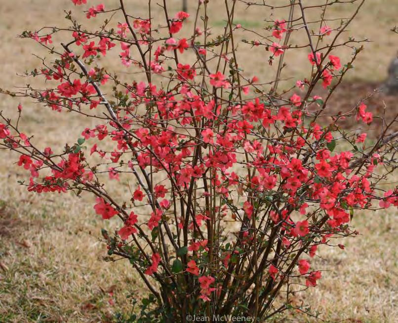
 POTENTIAL AMENITIES NOTES PLAN VIEW (TYPICAL) CONCEPTUAL LANDSCAPE TYP.") PACIFIC CRABAPPLE CASCARA BEAKED HAZELNUT MOCK ORANGE BALDHIP ROSE RED FLOWERING CURRANT PACIFIC WAX MYRTLE BENCHES DRINKING FOUNTAIN INTERPRETIVE SIGN NATURE PLAY (BOULDERS AND LOGS) 5. HABITAT FEATURES
PACIFIC CRABAPPLE CASCARA BEAKED HAZELNUT MOCK ORANGE BALDHIP ROSE RED FLOWERING CURRANT PACIFIC WAX MYRTLE BENCHES DRINKING FOUNTAIN INTERPRETIVE SIGN NATURE PLAY (BOULDERS AND LOGS) 5. HABITAT FEATURES
Design Guidelines for the Route 30 Corridor Master Plan: Subdivision and Land Development Elements
 Design Guidelines for the Route 30 Corridor Master Plan: Subdivision and Land Development Elements East Whiteland Township- Chester County, PA Prepared by: Draft: May 7, 2018 Design Guidelines for the
DESIGN GUIDELINES. Seattle Children s Major Institution Master Plan. Approved May 7, 2010
 Approved May 7, 2010 Contact: Todd Johnson, todd.johnson@seattlechildrens.org, (206)987-5259 A. MASTER PLAN... 3 A1.0 Context... 3 A1.1 Purpose of Design Guidelines... 3 A1.2 Design Guidelines... 4 B....
Hamilton Road Corridor Streetscape Master Plan. Open House October 4 th, 2017
 Hamilton Road Corridor Streetscape Master Plan Open House October 4 th, 2017 Agenda 1. Introductions Agenda Overview 2. Project Background 3. Existing Conditions 4. Strengths, Weaknesses, Opportunities
Landscape Design Guidelines
 Section 7: Landscape Design Guidelines seven section Landscape Design Guidelines Following are landscape guidelines specific to Milledgeville. This section provides guidance to property owners and the
Landscaping And Site Details
 Landscaping And Site Details Adopted by the Barrio Latino Commission on August 20, 1996 Addition to Ybor City Design Guidelines, Street Furniture. The City of Tampa maintains and is responsible for installation
INFRASTRUCTURE. Moving toward HIGH-PERFORMANCE GREAT URBANISM CAN BE ACHIEVED WHILE PROTECTING EVEN IMPROVING STREAMS AND RIVERS.
 SVR DESIGN COMPANY/SEATTLE PUBLIC UTILITIES Moving toward HIGH-PERFORMANCE INFRASTRUCTURE MARY VOGEL GREAT URBANISM CAN BE ACHIEVED WHILE PROTECTING EVEN IMPROVING STREAMS AND RIVERS. In places where communities
Design Guidelines. Roosevelt. Mike Podowski DPD Design Guidelines Ordinance ATT 13 August 13, 2012 Version #1
 Roosevelt Design Guidelines The Roosevelt Neighborhood Design Guidelines apply within the Neighborhood Boundary. Map 1 2 Map 2 3 Map 3 4 CS1 Natural Systems and Site Features Citywide Guideline: Use natural
FREEWAY/TOURIST DISTRICT
 FREEWAY/TOURIST DISTRICT DESIGN STANDARDS FOR THE CITY OF MOUNTLAKE TERRACE March, 2014 MOUNTLAKE TERRACE FREEWAY/TOURIST DESIGN STANDARDS March, 2014 1 TABLE OF CONTENTS Introduction...1 Design Site Design
Lehigh Acres Land Development Regulations Community Planning Project
 Lehigh Acres Land Development Regulations Planning Effort Summary In July, 2010 Commissioner Frank Mann invited the Lehigh Acres community to start discussing how to achieve their recently adopted community
4.9 Mendocino Avenue Corridor Plan Design Guidelines
 4.9 Mendocino Avenue Corridor Plan Design Guidelines The Mendocino Avenue Corridor Plan addresses the area between College Avenue and Steele Lane. Mendocino Avenue is a busy arterial that runs parallel
Bethesda Downtown Plan
 Bethesda Downtown Plan Planning Board Update Connecticut Avenue Location Economic Sustainability Social Environmental Scope Coming Soon! Team Listening, Twitter Outreach We Are Here Engagement Challenge
appendix and street interface guidelines
 appendix five: building and street interface guidelines appendix 5 building and street interface guidelines BOULEVARDS Boulevards are generally characterized by higher levels of traffic movement at higher
THE CIVIC DISTRICT DEVELOPMENT OPPORTUNITIES
 1 THE CIVIC DISTRICT DEVELOPMENT OPPORTUNITIES The Civic District is the physical and emotional heart of the downtown. It is also a major gateway into the central core, establishing the image and identity
Community Design Plan
 Gardena General Plan 2006 Authority While the is not a required element of a General Plan, it is included because improving the community appearance and image is paramount to the overall quality of life
Division VI Community Mixed Use (CMU) Architectural Guidelines and Standards
 Architectural Guidelines and Standards") Division VI 18.40.800 Community Mixed Use (CMU) Architectural Guidelines and Standards 18.40.810 Guidelines The goals of the Comprehensive Plan include a focus on pedestrian safety, amenities and aesthetics
Division VI 18.40.800 Community Mixed Use (CMU) Architectural Guidelines and Standards 18.40.810 Guidelines The goals of the Comprehensive Plan include a focus on pedestrian safety, amenities and aesthetics
Maplewood Avenue Downtown Complete Street Project
 Maplewood Avenue Downtown Complete Street Project Second Public Meeting January 24, 2018 Welcome and Introduction of Project Team City Planning and Public Works Staff City of Portsmouth Juliet Walker Planning
ZONING ORDINANCE TOWNSHIP OF BELLEVUE EATON COUNTY, MICHIGAN
 ZONING ORDINANCE TOWNSHIP OF BELLEVUE EATON COUNTY, MICHIGAN SECTION 23.08 LANDSCAPE PLANTING A. All plant materials required by this Ordinance or an approved Site Plan shall be planted to completion within
Town Center. Block 5 Existing multifamily residential units are expected to remain.
 Area Guidelines Germantown s districts should be developed as distinct communities with unique features that are supported through the guidelines. The guidelines not only help distinguish these districts
Corridor Identity. Section 9. Introduction. Corridor Guiding Principles
 Corridor Identity An attractive and healthy community is a critical element of a quality place, and the design of quality places is a balance between environmental, economic, and social considerations.
Conceptual Design. Main Street Enhancement and Extension Project. Bothell, Washington. June 11, 2009
 Conceptual Design Main Street Enhancement and Extension Project Bothell, Washington June 11, 2009 Berger/ABAM Engineers and Cascade Design Collaborative, Inc For Main Street Bothell to succeed it must
Toronto Complete Streets Guidelines
 Toronto Complete Streets Guidelines 108 110 7.1 Green Infrastructure Design Principles 112 7.2 Context-Sensitive Green Streets 114 7.3 Key Green Street Elements Green infrastructure refers to natural and
SOUTH LAKE TAHOE LINEAR PARK LANDSCAPE IMPROVEMENTS
 SOUTH LAKE TAHOE LINEAR PARK LANDSCAPE IMPROVEMENTS JUNE 2012 Scope of Work for Linear Park Landscape Improvements Prepare conceptual landscape design with increased lawn areas, additional accent planting,
Grave Creek Riparian Revegetation 2011 Implementation Report
 Task Order #1008 Grave Creek Riparian Revegetation 2011 Implementation Report Prepared for: Kootenai River Network P.O. Box 491 Libby, MT 59923 Prepared by: Geum Environmental Consulting, Inc. 307 State
Glencoe Elementary School Parking Lot Retrofit 825 SE 51 st Street
 Glencoe Elementary School Parking Lot Retrofit 825 SE 51 st Street Project Summary Project Type: Technologies: Institutional parking lot retrofit demonstration project Vegetated infiltration swale with
SOUTH UNIVERSITY Street Design Alternatives in Progress
 1 Alternatives in Progress 2016.01.20 Meeting Agenda 2 1. Progress & Schedule 2. Utilizing the Street Design Manual 3. Site Characteristics and Input Received 4. Street Geometry What can we accomplish
Belmont Bridge Replacement
 Belmont Bridge Replacement Board Of Architectural Review Meeting September 18, 2018 Corridor Plan Introduction August 15, 2017 BAR Meeting Comments The combination of landscaping, engineering, and planning
CHAPTER 8. Mrs. Zimman s Class - Central Elementary
 SUSTAINABILITY CHAPTER 8 Mrs. Zimman s Class - Central Elementary 8.1 OVERVIEW Green infrastructure also known as low impact development (LID) and environmental or sustainable site design is an environmentally
LANDSCAPING, SCREENING AND BUFFER AREAS
 ARTICLE 9 LANDSCAPING, SCREENING AND BUFFER AREAS 9.1 PURPOSE AND SCOPE. The landscaping, screening and buffer regulations, adopted and prescribed in this Ordinance, are found by the Village Council to
Lambeth Main Street Streetscape Improvements
 Lambeth Main Street Streetscape Improvements Open House October 5th, 2017 Agenda 1. Introduction 2. Project Background 3. Context 4. Project Objectives 5. Design Principles & Approach 6. Streetscape Design
CAMPUS LANDSCAPE AND OPEN SPACE
 LANDSCAPE CHARACTER I hope our alumni will always insist upon retention of our precious islands of green and serenity our most important physical asset, transcending even classrooms, libraries, and laboratories
Native Plant Guide - King County, Washington. Plant list for dry part-shade. Plant list for dry shade
 Native Plant Guide - King County, Washington Page 1 Plant list for dry part-shade Tree Pacific dogwood Cornus nuttallii part shade dry - moist 60 Tree bitter cherry Prunus emarginata sun - part shade dry
A larger version of this map is located on the last page of this PDF.
 MAP Committee Input McLoughlin Area Draft Vision Map A larger version of this map is located on the last page of this PDF. 1. The map above is intended to portray a vision for the McLoughlin area. It highlights
Planning and Design: Applied LID Techniques Redevelopments, Housing, Mixed Use, Infrastructure
 Civil Engineering Landscape Architecture Environmental Restoration Planning Planning and Design: Applied LID Techniques Redevelopments, Housing, Mixed Use, Infrastructure Peg Staeheli, ASLA, LEED AP March
BRADENTON RIVERWALK EXPANSION MASTER PLAN
 BRADENTON RIVERWALK EXPANSION MASTER PLAN INTRODUCTION & AGENDA Process Update Community Engagement Summary Center for Active Design (CfAD) Recommendations Context and Existing Conditions Master Plan Alternatives
Creating a sense of arrival at campus entrances and at the primary entrances to the Campus Core.
 16.0 LANDSCAPE DESIGN GUIDELINES ELEMENT In campus planning, design professionals whose focus is the outdoors must be sensitive to transitions from building to open space, the need for common areas and
Bow to Bluff Public Realm Plan Design Update
 Bow to Bluff Public Realm Plan Design Update December 017 Great public spaces encourage people to gather, recreate, explore and discover. Introduction The City of Calgary is planning to improve the corridor
CHARLOTTESVILLE. Streetscape ENTRANCE CORRIDOR DESIGN GUIDELINES. Amendments adopted by City Council March 7, Design Principles...
 CHARLOTTESVILLE ENTRANCE CORRIDOR DESIGN GUIDELINES Amendments adopted by City Council March 7, 2011 2 Streetscape A. B. C. D. E. F. G. H. I. Design Principles...5 Plantings & Open Space...6 Pedestrian
V. Gateways GATEWAYS / V-1
 V. GATEWAYS / V-1 Many of Chesapeake s gateways are located on highways and call for bold and attractive designs that motorists can understand, appreciate, and enjoy. can also take the form of natural
PIKE PINE RENAISSANCE: ACT ONE. October 19, 2017
 PIKE PINE RENAISSANCE: ACT ONE October 19, 2017 WATERFRONT SEATTLE PROGRAM PROJECT INTRODUCTION Pike and Pine streets, between First and Melrose avenues Pedestrian and streetscape improvements Budget:
A Proposed Schematic Master Plan for the Crowne Plaza Englewood, NJ
 A Proposed Schematic Master Plan for the Crowne Plaza Englewood, NJ Prepared by Camberly Gardens 343 West ClintonAve Tenafly, NJ 07670 (201) 569-9291 Phone (201) 567-9291 Fax This schematic master plan
MILLBRAE CITY HALL DEMONSTRATION GARDEN
 DEMONSTRATION GARDEN EXISTING The Millbrae City Hall existing landscape at the intersection of Magnolia and Library Avenues consists of a Coast redwood surrounded by turf grass. While the tree provides
SECTION V: DESIGN GUIDELINE EXAMPLES
 SECTION V: DESIGN GUIDELINE EXAMPLES Introduction The Syracuse Town Center is envisioned as an area that creates a sense of place, a community downtown. As such, the Town Center Committee recommended the
Williamsburg Boulevard Green Streets Project. April 27, 2011 Williamsburg Middle School
 Williamsburg Boulevard Green Streets Project April 27, 2011 Williamsburg Middle School What is a Green Street? A green street incorporates facilities that reduce the impact of polluted runoff on our streams
DEVELOPMENT STANDARDS
 CHAPTER 3 DEVELOPMENT STANDARDS Development proposals in the Mall Road (MR) Overlay District shall follow the standards outlined in this chapter. These standards may be adjusted by the Zoning Administrator
Community Mixed Use Zone Districts (CMU)
") 18.28.500 Community Mixed Use Zone Districts (CMU) The Community Mixed Use Zone Districts (CMU) are intended to help implement the land use goals and strategies found in the Golden Vision 2030 values,
18.28.500 Community Mixed Use Zone Districts (CMU) The Community Mixed Use Zone Districts (CMU) are intended to help implement the land use goals and strategies found in the Golden Vision 2030 values,
CHAPTER 5 Public Realm Improvements
 5.1 OVERVIEW This chapter focuses on the public realm, that is, spaces within and directly adjacent to public rights-of-way (ROWs), including streets, Oso Creek, the rail corridor, and the freeway edge.
RZC Public View Corridors and Gateways
 RZC 21.42 Public View Corridors and Gateways 21.42.010 Purpose 21.42.020 Scope and Authority 21.42.030 Administration 21.42.040 Gateways Design 21.42.050 Unidentified Public Views 21.42.060 Identification
LOWER DIVISADERO STREETSCAPE DESIGN CONCEPT
 LOWER DIVISADERO STREETSCAPE DESIGN CONCEPT October 2006 AsianNeighborhoodDesign A Vision for Lower Divisadero: In Five Years The Lower Divisadero streetscape design concepts were developed over the course
Figure 3-1: Public Realm Plan
 3 Public Realm Figure 3-1: Public Realm Plan 3.1 Public Realm Concept The public realm concept for the Little Mountain site integrates a clear and accessible movement network with public spaces for social
TOWN CENTER DESIGN STANDARDS FOR THE CITY OF. August, MOUNTLAKE TERRACE TOWN CENTER DESIGN STANDARDS August,
 TOWN CENTER DESIGN STANDARDS FOR THE CITY OF MOUNTLAKE TERRACE August, 2008 MOUNTLAKE TERRACE TOWN CENTER DESIGN STANDARDS August, 2008 1 TABLE OF CONTENTS Introduction...3 Design Site Design...4 Pedestrian
11.0. Design Manual: Sustainable Initiatives. Chapel Hill Streetscape and Lighting Master Plan mikyoung kim design all rights reserved.
 11.0 Design Manual: Sustainable Initiatives 2008 mikyoung kim design all rights reserved. Chapel Hill Streetscape and Lighting Master Plan 109 110 Chapel Hill Streetscape and Lighting Master Plan DESIGN
Potential Green Infrastructure Strategies May 6, 2015 Workshop
 Potential Green Infrastructure Strategies May 6, 2015 Workshop Background The City of Cortland is developing the Tioughnioga Urban Headwaters Green Infrastructure Action Plan with funding from the National
Town Center Design Guidelines
 Adopted by City Council on September 18, 2018 Design Theme The Draper Town Center Design Theme is defined as encompassing those architectural design styles that were prevalent in the construction of civic
FROM DUPONT CIRCLE NORTH TO CALIFORNIA STREET, NW. Welcome!
 FROM DUPONT CIRCLE NORTH TO CALIFORNIA STREET, NW Welcome! Meeting Agenda 6:00 PM Open House 6:30 PM Presentation 7:00 PM Open House / Q&A at the Boards Project Design Team Connecticut Avenue, NW Project
Dogpatch/22nd Street Greening
 TEAM MEMBERS Prepared for: GreenTrustSF Central Waterfront www.gtsfcw.org Prepared by: Fletcher Studio San Francisco, CA www.fletcherstudio.com Landscape Architecture Urban Design Environmental Planning
SECTION TWO: Overall Design Guidelines
 SECTION TWO: Overall Design Guidelines This section provides overall design principles and guidelines for the Gardnerville Mixed-use Overlay. They provide criteria for mixed-use places consisting of residential,
Project Team and Committee
 Project Team and Committee Village of Northfield (lead agency) staff: Stacy Sigman Michael Nystrand Cook County (partner agency) staff Tara Fifer Tara Orbon Consultant Engineering staff: Jarrod Cebulski
Hidden Pointe Landscape Master Plan. June, archi terra
 Hidden Pointe Landscape Master Plan June, 2006 t h e archi terra g r o u p 1 Table of Contents Background Purpose and Goals of the Master Plan Master Plan Process Existing Conditions Entrance Hidden Pointe
Technical Advisory Committee
 CULVER DOWNTOWN STREETSCAPE PLAN STREETSCAPE IDEAS REPORT 01.08.2008 Project Team Matt Crall, Transportation and Growth Management Quick Response Program Donna McCormack, City of Culver Darrell Newton,
More than 30 adults and 19 children were involved in these community workshops.
 Linwood Workshops held at Household of Faith Deliverance Church 3.29.08 and 4.05.08 What is a Design Workshop? We use the term workshop (often called charrette among design professionals) to describe a
Green Street Maintenance Program & Lessons Learned
 Green Street Maintenance Program & Lessons Learned Watershed Revegetation Program Bureau of Environmental Services Summer 2018 Watershed Revegetation Program Since 1995 Natural Area Restoration and Stormwater
AHBE Landscape Architects Revitalizes Southern California Streetscapes
 AHBE Landscape Architects Revitalizes Southern California Streetscapes Case Studies: South Park Streetscape in Downtown Los Angeles and Monrovia Station Square Transit Village Left: The pedestrian connection
section five BEAUTIFICATION PLAN
 section five BEAUTIFICATION PLAN BEAUTIFICATION PLAN Section Five Beautification Plan The goal of the Beautification Plan is to improve the Route 8-Sunnyland Corridor in terms of aesthetics and to create
Urban Design 9Identity
 Urban Design 9Identity URBAN DESIGN IDENTITY Urban design is about connecting people to their places through the built environment, nature, and overall urban form. Done well, it creates a memorable space
INSTITUTIONAL USE DESIGN COMPATIBILITY TECHNIQUES
 INSTITUTIONAL USE DESIGN COMPATIBILITY TECHNIQUES INTRODUCTION Community institutions are an important part of the character and vitality of neighborhoods in Forsyth County. Institutional uses include
Blue Line LRT Extension
 v e Noble Pkwy Noble Pkwy Xerxes Ave N Shingle Creek Penn Ave N Penn Ave N Fremont Ave N Lyndale Ave N S Washington Ave University Ave NE Blue Line LRT Extension LIGHT RAIL PLATFORM AND STATION DESIGN