WHITE FLINT SECTOR PLAN PHASE I PRESENTATION Montgomery County Planning Board April 13, Luxmanor Citizens Association
|
|
|
- Kathleen McKinney
- 5 years ago
- Views:
Transcription

1 WHITE FLINT SECTOR PLAN PHASE I PRESENTATION Montgomery County Planning Board April 13, 2009 Luxmanor Citizens Association
2 An Inclusive Master Plan The Vision of a Better Community Pedestrian oriented Mass transit - easily accessible Publicly-owned green spaces Public Art Neighborhood involvement New communities Best Management Practices to restore the natural environment Sustainable Development
3 Pedestrian Oriented Wide sidewalks Open-to-the-street markets and shops Significant, visible Bicycle parking areas Pedestrian-oriented signalization Easily accessible mass transit
4 Mass Transit Additional mass transit is REQUIRED for any plan to work Mass transit is REQUIRED for easy access to metro and buses Additional neighborhood friendly public transit is REQUIRED so neighbors in surrounding communities can access mass transit without using their cars
5 Mass Transit The plan will not work and is not sustainable without additional mass transit, outside the Sector The Advisory Group agreed that additional significant mass transit and not ephemeral circulator buses was required The revised plan must include significant mass transit to accommodate 20,000 new jobs and residents of ~10,000 new residences
6 Publicly-Owned Streets and Green Spaces Streets must be publicly owned First amendment rights must be protected Green spaces must be publicly owned and maintained Green spaces must be designed with community input
7 Publicly-owned Streets and Green Spaces Model: Solar1, at Solar1 is a highly successful neighborhood/government partnership Protects and maintains public parks Provides environmental education Involves citizens in the public process Funding: percent of revenue from nearby parking facilities


8
9 Volunteer in Stuyvesant Cove Park Stuy Cove Park has both a dedicated group of volunteers that help take care of the beds and planters, and periodic public volunteer days. Volunteer days will show up on the events calendar. If you would like to be one of our dedicated group of volunteers go to the contact page and send us a message.
10 Stuyvesant Cove Park 1.9 acres Formerly a concrete factory and other industrial uses Green Master Plan Public Open Space Stuyvesant Cove Park now represents a shift in civic values and community land use.
11 Public Art Public Art must be a part of the new environment Model: Seattle DOT Art Master Plan htm Required in the WF Master Plan: a section on Public Art

12 Public Art Seattle DOT Art Master Plan
13 Public Art A plan of action comprehensively detailing how Seattle can become a national leader in creating a more humane, layered, beautiful and relevant transportation system. It offers a completely new methodology for rethinking the practicality and use of our shared right-of-way. By employing the work of artists, the creativity of citizens and the ingenuity of SDOT employees, the gradual implementation of this plan will contribute significantly to a Seattle whose streets and sidewalks celebrate life, discovery and creativity.
14 Public Art Hired an Artist-in-Residence Produced: Book I: The Diagnosis the big picture of art in the right-of-way Book II: The Toolkit a reference for project managers and special projects ideas Book III: Sidewalk Survey a visual encyclopedia of creativity in the right of way
15 Public Art Directions: Work with existing neighborhood artists to develop a section in the WF Draft Plan on Public Art Reach out in a verifiable way to neighbors and citizens in a Democratic process
16 Neighborhood Involvement Hold discussions with surrounding neighbors in a verifiable, transparent manner Record comments and provide feedback in a comment matrix that is accessible to all and is part of the Master Plan record Continue to keep the Meeting Log current Create a mechanism to make sure the residential landowners are on an equal footing with the commercial landowners Verify that surrounding neighbors have been involved in the Master Plan Process
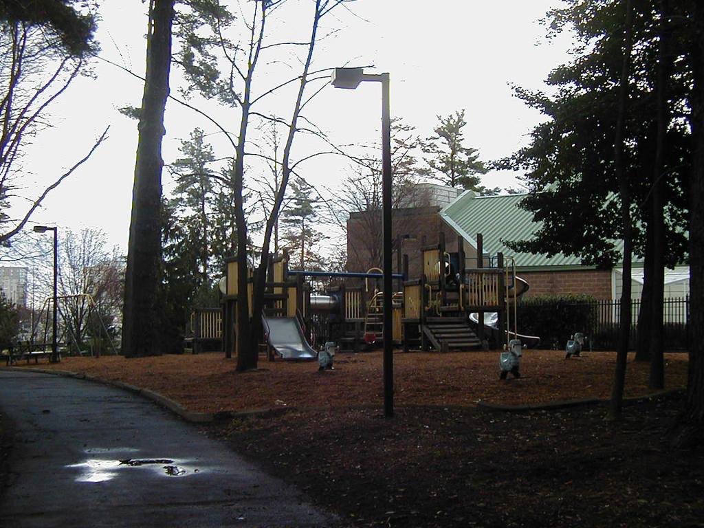
17 New Communities Required: Library Schools that are not over-crowded Police, Fire, Emergency Medical Parks, small and larger
18
19
20 Best Management Practices White Flint exists in a natural environment and known watershed Emphasis must be on restorative practices

21 Best Management Practices
22
23 Best Management Practices The Upper Rock Creek watershed contains many miles of small headwater streams unlike Lower Rock Creek, where prior development piped many headwater areas, impacting aquatic habitat and stream systems The high level of development and lack of stormwater controls have led to unmitigated flows that have damaged Rock Creek and its tributaries MDE has identified the Rock Creek Watershed in Montgomery County in the State s 303(d) regulation as impaired by nutrients, sediments, fecal bacteria, and impacts to biological communities (MDE, 2006)
24 Best Management Practices Directions: Section on sustainability focused on Restoration and Repair BMPs regarding restoration of Rock Creek BMPs to decrease CO2 substantially
25 Sustainable Development Practice Restorative Redevelopment Increase the resource efficiency of facilities and buildings Reduce pollution from vehicles Build and Buy Green Work towards reducing Greenhouse Gas Emissions Reduce the use of pesticides Protect and restore the urban creeks and streams Promote Environmental Stewardship Encourage residents to drive less Improve and optimize Transportation Infrastructure Improve and expand the Green Infrastructure
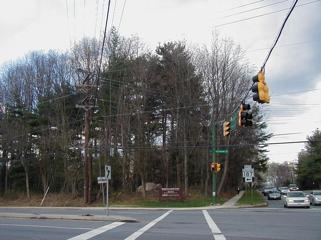
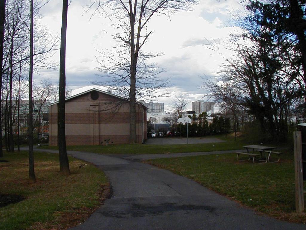
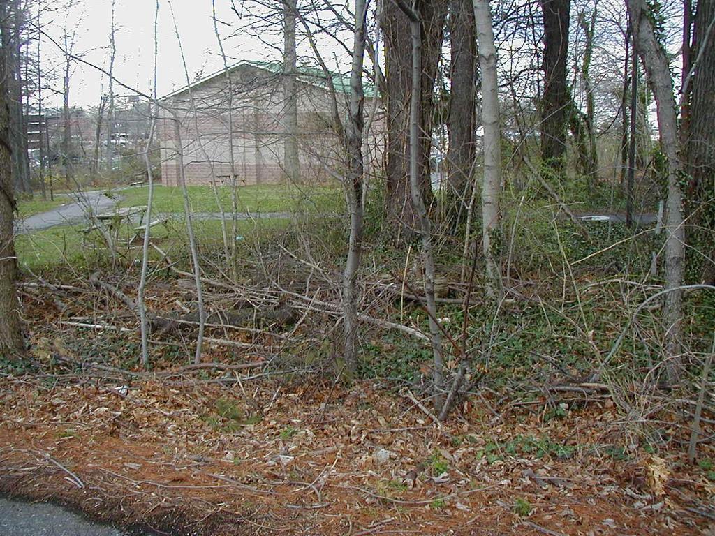
26 The Devil is in the Details Wall Park Access from existing neighborhoods to public transit Building Heights Appropriate Density Neighborhood/Government Partnerships
27 Wall Park Very important to our neighborhood A large community of swimmers in our neighborhood Little attempt by Planning to contact the neighborhood or the swimming community One community meeting to date, at our behest
28
29
30
31
32
33
34
35
36
37
38
39
40 Wall Park Directions: Verifiable Public Involvement Transparent Public Process Interaction with surrounding community Comment matrix accessible to the public A model of Park development that is a twoway street
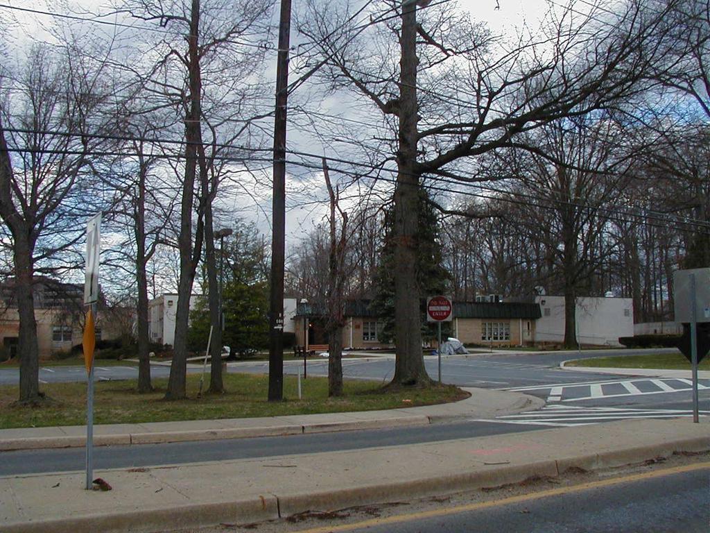
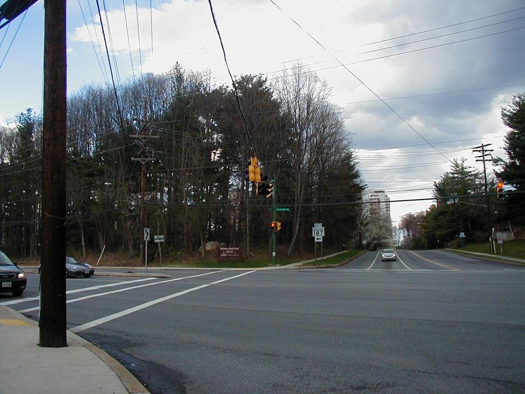
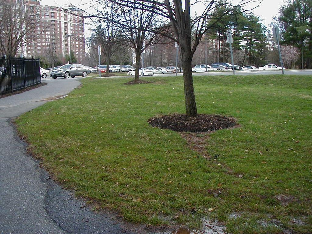
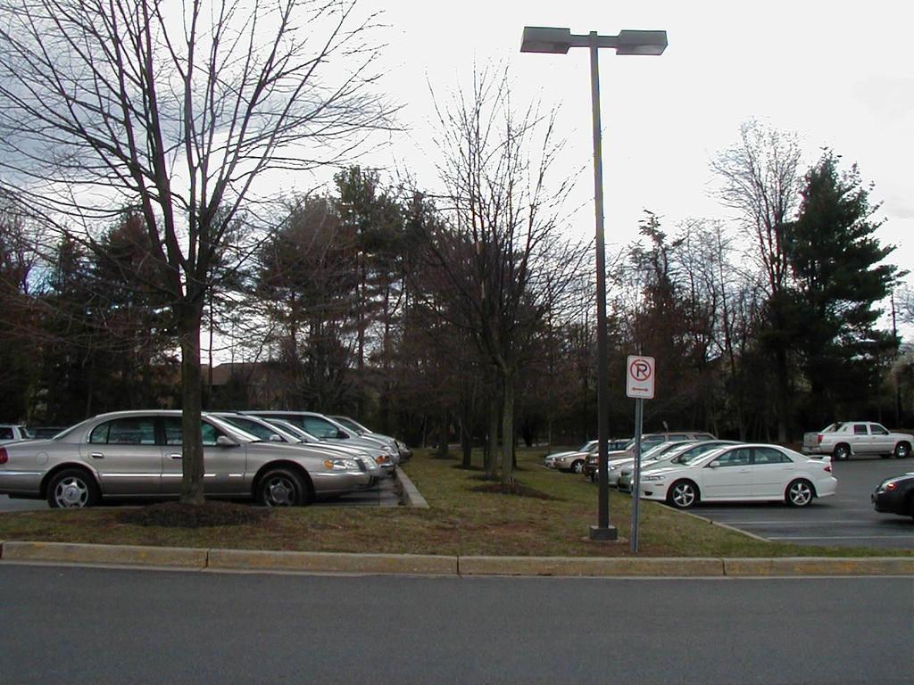
41 Access to Public Transit Now: Existing neighborhoods cannot access public transit Bus signs are confusing Bus stops are in dangerous locations It is not possible to walk to the metro Street crossings are dangerous; signalization is designed for auto traffic
42
43 Access to Public Transit Directions: Solution: Easy access to public transit via Luxmanor Jitney, a small van that is in the neighborhood linking the neighborhood to the White Flint Sector Bus Signs: Easy to read; inviting; destination and times written ON THE BUS SIGN Bus stops in areas with sidewalks and cross walks Slow traffic; fix signalization so it is pedestrian and bicycle friendly; provide signalization as in DC
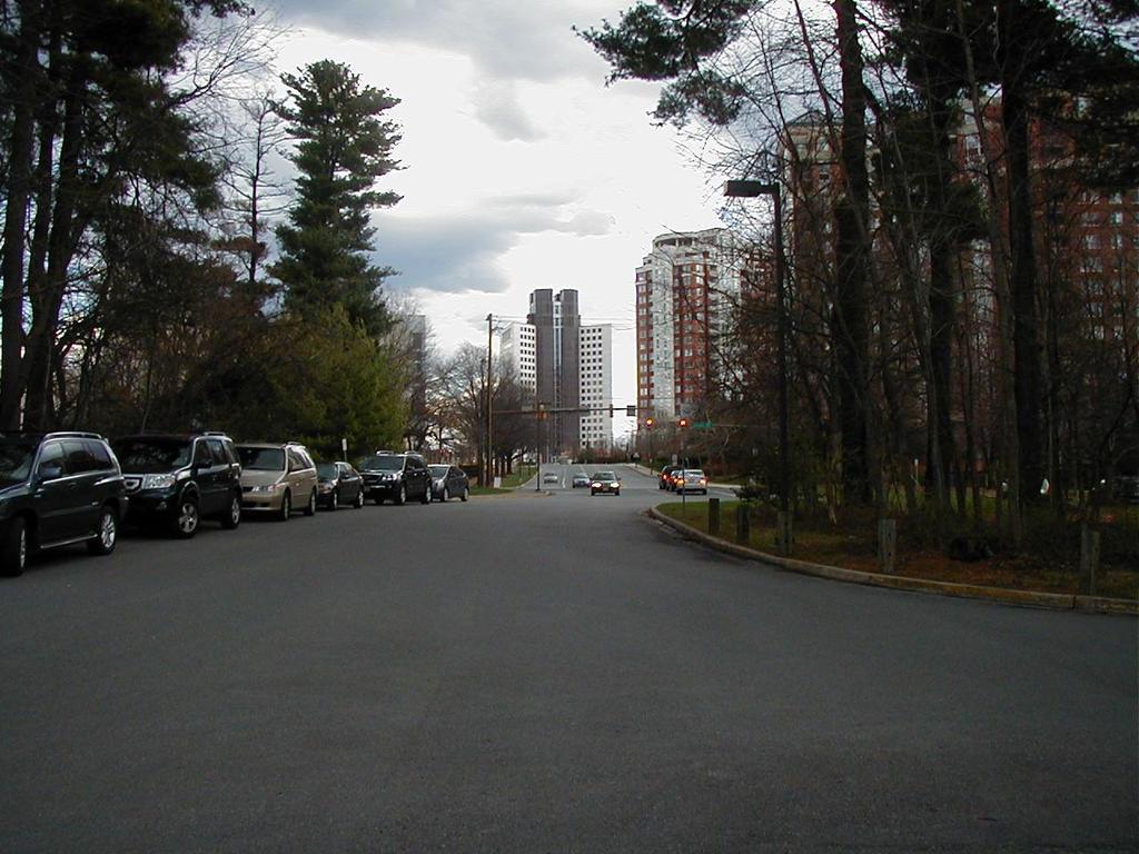
44 Building Heights 300 feet is too tall 500 feet is too tall type LCA Balloon Test in the search box There are no 300-ft tall buildings in the Mid-Atlantic region Washington DC has height limit White Flint Phase II shares a boundary with Neilwood Drive and Danville Drive, residential neighborhoods with one story and two story homes
45

46 Red Balloon at 300 Feet
47
48 Building Heights Solution: Limit heights Explicit height limits in the WF Master Plan Do not allow inappropriate building heights along the Rockville Pike or along Executive Boulevard Do not allow Vertical Sprawl
49 Appropriate Density Density must be in keeping with expectations of the citizens and residential landowners of the County Solution: limit density in the plan in accordance with public transit and sustainability conduct a public, transparent discussion on whether the county residents want to urbanize
50 Neighborhood/Government Partnerships Directions: Work continually with the neighborhoods and residential landowners Listen to the residential landowners for creative solutions Build a democratic, transparent system
51 End Questions?
Plano Tomorrow Vision and Policies
 Plano Tomorrow Vision and Policies PLANO TOMORROW PILLARS The Built Environment The Social Environment The Natural Environment The Economic Environment Land Use and Urban Design Transportation Housing
City of Hermosa Beach Administrative Policy #
 City of Hermosa Beach Administrative Policy # SUBJECT: Living Streets Policy Date: Approved by: City Council Authority: Public Works Department & Community Development Department Mayor, PURPOSE The City
Transportation. Strategies for Action
 Transportation A major priority for the Overlake Neighborhood is to develop a multimodal transportation system. To achieve this system, a balance has to be found among travel, circulation and access needs;
Concord Community Reuse Project Goals and Guiding Principles. Overarching Goals (OG)
") Concord Community Reuse Project Goals and Guiding Principles Overarching Goals (OG) No priority is implied by the order of presentation of the goals and guiding principles. Overarching goals for the Concord
Concord Community Reuse Project Goals and Guiding Principles Overarching Goals (OG) No priority is implied by the order of presentation of the goals and guiding principles. Overarching goals for the Concord
A larger version of this map is located on the last page of this PDF.
 MAP Committee Input McLoughlin Area Draft Vision Map A larger version of this map is located on the last page of this PDF. 1. The map above is intended to portray a vision for the McLoughlin area. It highlights
The University District envisions, in its neighborhood
 Envisioning the University District Link Light Rail in Seattle s neighborhoods CIY OF SEALE CONCEP-LEVEL SAION AREA PLANNING RECOMMENDAION RESOLUION # 30165 EXHIBI L Vision 08.2000 he University District
MEMO 1. INTRODUCTION PURPOSE & PROCESS REQUEST
 MEMO Date: August 22, 2017 To: Board of Commissioners From: Jason Burdette, Planning Director Re: Davidson Commons East Hotel Stakeholder Feedback 1. INTRODUCTION PURPOSE & PROCESS This memorandum summarizes
Subregion 4 Central Avenue-Metro Blue Line Corridor Transit-Oriented Development (TOD) Implementation Project. Community Meeting April 27, 2011
 Implementation Project. Community Meeting April 27, 2011") Subregion 4 Central Avenue-Metro Blue Line Corridor Transit-Oriented Development (TOD) Implementation Project Community Meeting April 27, 2011 Overview Introduction to Subregion 4 TOD Implementation Program
Subregion 4 Central Avenue-Metro Blue Line Corridor Transit-Oriented Development (TOD) Implementation Project Community Meeting April 27, 2011 Overview Introduction to Subregion 4 TOD Implementation Program
DRAFT Land Use Chapter
 Stevens Creek Urban Village DRAFT 1 18 17 Land Use Chapter INTRODUCTION This Land Use Chapter describes how the Stevens Creek Urban Village will accommodate the growth that is planned for it in the Envision
The Five Components of the McLoughlin Area Plan
 The Five Components of the McLoughlin Area Plan This documents contains the complete language of the five components of the McLoughlin Area Plan: The Vision Statement The Values The Guiding Principles
Economy Vision Statements: Social Wellbeing Vision Statements: Natural Environment Vision Statements:
 Economy Vision Statements: 1. Our business environment makes us a region of choice for new employers as we encourage entrepreneurship and have a vibrant, diversified and resilient regional economy. 2.
S C O P E O F W O R K A P R I L
 white flint 2 sector plan S C O P E O F W O R K A P R I L 2 0 1 2 MONTGOMERY COUNTY PLANNING DEPARTMENT M-NCPPC MontgomeryPlanning.org 1 white flint 2 sector plan Scope of Work abstract This scope of work
Public input has been an important part of the plan development process.
 Lakewood s Comprehensive Plan recognizes that transportation helps shape the community, and that the way the community provides for the safe and efficient movement of people affects the character of the
EXISTING COMPREHENSIVE PLAN
 EXISTING COMPREHENSIVE PLAN Town Center Land Use Element: V. LAND USE POLICIES Town Center Mercer Island's business district vision as described in "Your Mercer Island Citizen-Designed Downtown" was an
Living in Albemarle County s Urban Places
 Living in Albemarle County s Urban Places ALBEMARLE COUNTY, VIRGINIA A Closer Look at Albemarle s Approach to Managing Growth and Creating Quality Urban Environments www.albemarle.org Page 2 Living in
Status Report: MD 355 Project
 Status Report: MD 355 Project OCTOBER 2006 M-NCPPC MONTGOMERY COUNTY PLANNING DEPARTMENT Summary of Community Comments, and break to the Results of the MD 355 Participation Session Brookside Gardens -
greenprint midtown SUSTAINABILITY ACTION PLAN 2012
 greenprint midtown SUSTAINABILITY ACTION PLAN 2012 MIDTOWN ALLIANCE SOUTHFACE ENERGY INSTITUTE RENAISSANCE PLANNING GROUP SUSTAINABLE ATLANTA PERKINS+WILL 2 GREENPRINT MIDTOWN 1. Introduction Sustainability
TOD 101 CREATING LIVABLE COMMUNITIES WITH TRANSIT
 1 CREATING LIVABLE COMMUNITIES WITH TRANSIT What are transit Centered Communities? Benefits of Partnerships to Support and Implement What You Will Learn Portland s Pearl District Your Trainers Today Catherine
ITEM #8. Regional Smart Growth Program. Regional Smart Growth Program. Presentation Overview. Coast Highway Vision and Stategic Plan.
 Regional Smart Growth Program Economic Development Commission What is Smart Growth? Adopted as part of the Regional Comprehensive Plan (RCP) RCP provides vision for region based on Smart Growth and sustainability
BROOKHILL NEIGHBORHOOD MODEL ZONING MAP AMENDMENT PREFACE TO APPLICATION
 BROOKHILL NEIGHBORHOOD MODEL ZONING MAP AMENDMENT PREFACE TO APPLICATION June 15, 2015 Revised: August 1, 2016 I. VISION Brookhill is a proposed community based upon the principles of Albemarle County
TRANSIT ORIENTED DEVELOPMENT PINELLAS COUNTY MPO LIVABLE COMMUNITIES INITIATIVE PINELLAS COUNTY COMPREHENSIVE PLAN AMENDMENTS
 PINELLAS COUNTY MPO LIVABLE COMMUNITIES INITIATIVE MODEL LAND DEVELOPMENT CODE TRANSIT ORIENTED DEVELOPMENT PINELLAS COUNTY COMPREHENSIVE PLAN AMENDMENTS MPO Livable Communities Initiative Goal: Improve
INTRODUCTION PLANNING HISTORY
 INTRODUCTION The Upper Rock Creek Master Plan Area lies in the east central part of Montgomery County. The Master Plan Area is adjacent to the City of Rockville to the south, the Olney Planning Area to
Tyvola & Archdale Transit Station Area Plan. June 5, 2008
 Tyvola & Archdale Transit Station Area Plan Second Public Meeting June 5, 2008 Presentation Outline 1. Purpose and Process 2. Station Area Overview 3. Plan Recommendations 4. Comments Received and Proposed
4.1.3 LAND USE CATEGORIES
 4.1.3 LAND USE CATEGORIES a. City Center District The City Center District incorporates the existing character and mix of uses in downtown Belmont to encourage redevelopment and new development in keeping
Yadkin River Greenway Feasibility Study Fact Sheet Village of Clemmons, Town of Lewisville, Town of Bermuda Run
 Fact Sheet Village of Clemmons, Town of Lewisville, Town of Bermuda Run Project Background The Yadkin River Greenway Feasibility Study is a joint project with the Village of Clemmons, the Town of Bermuda
MAYFIELD WEST SECONDARY PLAN PHASE 2
 MAYFIELD WEST SECONDARY PLAN PHASE 2 Public Open House #3 February 25, 2010 Draft Preferred Land Use Scenario TOWN OF CALEDON PLANNING & DEVELOPMENT DEPARTMENT Open House Agenda TOWN OF CALEDON 1. Welcome
The West Vaughan Employment Area Secondary Plan Policies
 Part 2: The West Vaughan Employment Area Secondary Plan Policies 2.1 General Policies It is the policy of Council: 2.1.1. That the West Vaughan Employment Area (the WVEA), identified on Schedule 1, will
Germantown Forward Status Report to the Planning Board M NCPPC
 Germantown Forward Status Report to the Planning Board Germantown Forward March 27, 2008 What s new? CCT alignment Capital Improvement Program Agency partners Water quality conditions Sustainability Design
CHAPTER 7: Transportation, Mobility and Circulation
 AGLE AREA COMMUNITY Plan CHAPTER 7 CHAPTER 7: Transportation, Mobility and Circulation Transportation, Mobility and Circulation The purpose of the Transportation, Mobility and Circulation Chapter is to
Keyport. Vision for Keyport
 Keyport Vision for Keyport Keyport is a rural, historic waterfront village bounded and limited in size by its natural borders of water and the Naval Undersea Warfare Center. The community consists primarily
DOWNTOWN AREA PLAN. June 9, 2009
 DOWNTOWN AREA PLAN June 9, 2009 Issues Identified by Councilmembers Overlap with Southside Plan Southwest Residential Area & Herrick Shadows & Residential Areas Shadows on Streets & Canyon Effect Transit
Public Meeting: July 11, 2016
 Public Meeting: July 11, 2016 MONTGOMERY COUNTY PLANNING DEPARTMENT Maryland-National Capital Park and Planning Commission Tonight s Agenda Preliminary Recommendations Background and Context 2009 Twinbrook
Citizen Comment Staff Response Staff Recommended Revision Planning Committee
 Citizen Comment Staff Response Staff Recommended Revision Planning Committee Area No. 1: Owner desires retail land uses. Area No. 1a: Owner of two small parcels adjacent to Area No. 1 desires retail land
Urban Planning and Land Use
 Urban Planning and Land Use 701 North 7 th Street, Room 423 Phone: (913) 573-5750 Kansas City, Kansas 66101 Fax: (913) 573-5796 Email: planninginfo@wycokck.org www.wycokck.org/planning To: From: City Planning
DALY CITY VISIONING PROCESS COMMUNITY WORKSHOP 3 MAY 8, 2008
 DALY CITY VISIONING PROCESS COMMUNITY WORKSHOP 3 MAY 8, 2008 PROCESS General Plan - a statement of the community s values, vision and aspirations for now and into the future... Timeframe LONG TERM - 2030
WELCOME and introduction
 1 WELCOME and introduction Mobility Hub Locations within Burlington STUDY OVERVIEW STUDY OBJECTIVES The City of Burlington is developing four Area Specific Plans, one for each of Burlington s Mobility
Shady Grove Sector Plan
 Montgomery Planning Area 2 Division 11/15/2018 Shady Grove Sector Plan Minor Master Plan Amendment Scope of Work Edit presentation title MM/DD/YYYY 1 Purpose for the Plan Amendment 1. Reevaluate/status
THE 355/270 CORRIDOR:
 THE 355/270 CORRIDOR: Strategic Ideas for Sustaining a Livable Work Place Project Summary ACCESS LIFE DESIGN HEALTH WORK Montgomery County Planning Department The Maryland-National Capital Park and Planning
Policies and Code Intent Sections Related to Town Center
 Policies and Code Intent Sections Related to Town Center The Town Center Vision is scattered throughout the Comprehensive Plan, development code and the 1994 Town Center Plan. What follows are sections
PLAN ELEMENTS WORKSHOP. April 5, 2016
 PLAN ELEMENTS WORKSHOP April 5, 2016 needs more housing. But there is no one-size fits-all solution. Every neighborhood has its own character. In some places, density is not only appropriate it is badly
Mini Technical Assistance Panel. Rock Spring Park
 Mini Technical Assistance Panel Rock Spring Park May 22, 2013 The Team Jason Bonnet, Forest City Washington Matthew Flis, Town of Vienna William Herbig, National Capital Planning Commission Sophie Lambert,
Westbound: A One-day Exploration of Growth
 Westbound: A One-day Exploration of Growth Frog Pond Area 2018 UGB Expansion Proposal June 13, 2018 Growing Out: UGB Asks Four cities submitted proposals to expand greater Portland s urban footprint by
1.0 Introduction. Purpose and Basis for Updating the TMP. Introduction 1
 1.0 Introduction The Town of Castle Rock is situated between the metropolitan areas of Denver and Colorado Springs, amidst a unique terrain of rolling hills, mesas, ravines, and waterways. Like many Front
Metro. Activity Center Design Guidelines. Recommendations For Developing Focused, Mixed-Use Commercial/Residential Centers
 Metro Activity Center Design Guidelines Recommendations For Developing Focused, Mixed-Use Commercial/Residential Centers Metro Activity Centers What is a MAC? Legacy, the adopted guide for the future growth
Preliminary Recommendations Tk Takoma/Langley Crossroads Sector Plan
 Preliminary Recommendations Tk Takoma/Langley Crossroads Sector Plan Vision is to achieve a Transit Oriented, pedestrian friendly Community that Celebrates and builds upon the cultural Diversity of the
Establish a network of streetscaped vehicle and pedestrian routes that connect within and outside the Plan area.
 This Plan s urban design goals are to create an urban scale, walkable community with connections to transit, parks, and services and with amenities and facilities for residents and employees. The 1992
Sahuarita District & Phase 1 Master Plan. Town Council December 11, 2017
 Sahuarita District & Phase 1 Master Plan Town Council December 11, 2017 Visioning Study Visioning Process Advisory Group Meetings Community Questionnaire Town Center Case Studies Community Analysis The
Diverse Coalition of Partners. LEGOs to Legacy. Coastal Cities Summit
 Diverse Coalition of Partners LEGOs to Legacy Coastal Cities Summit Diverse Coalition of Partners Partner Organizations Reality Check Tampa Bay May 2007 300+ regional participants 32 tables public, private,
This Review Is Divided Into Two Phases:
 Semiahmoo Town Centre Review The purpose of this review: To review the Semiahmoo Town Centre Concept Plan, originally approved in 1993, to ensure that this centre will continue to serve the needs of South
MCM1 Public Education and Outreach Draft Public Education and Outreach Program
 MCM1 Public Education and Outreach Draft Public Education and Outreach Program 1. Background - Coordinating efforts amongst local MS4 operators Educating, reaching out to, and involving the public in stormwater
Rio/29 Small Area Plan. Design Plan & Implementation Framework Open House - January 25, 2018
 Rio/29 Small Area Plan Design Plan & Implementation Framework Open House - January 25, 2018 MEETING PURPOSE PRESENTATION 1. Orient to the updated design plans 2. Introduce implementing options 3. Explain
At first Work Session on October 22, At second Work Session on November 19, At third Work Session on December 3, 2015
 At first Work Session on October 22, 2015 Staff Reviewed Infrastructure: Transportation Capacity School Capacity Willett Branch Proposed Staging Language At second Work Session on November 19, 2015 Land
Sheridan Boulevard S TAT I O N A R E A P L A N S H E R I D A N B O U L E VA R D S TAT I O N A R E A P L A N
 Sheridan Boulevard S TAT I O N A R E A P L A N 1 City of Lakewood Adopted November, 2006 S H E R I D A N B O U L E VA R D S TAT I O N A R E A P L A N The Vision The City of Lakewood s overall vision is
Courthouse Square Planning & Urban Design Study Working Group Meeting #11 September 2, 2014
 Courthouse Square Planning & Urban Design Study Working Group Meeting #11 September 2, 2014 1 Study Area Courthouse Square DRAFT Design Concepts A B C 3 Public Feedback July 23 Workshop & Online Survey
City of Heath. Town Center Concept
 In the give-and-take of getting projects designed, financed, and approved, the famous refrain from the film Field of Dreams is heard often: if you build it, they will come. From the perspective of the
Public Forum-Part II: June 20, 2016
 Public Forum-Part II: June 20, 2016 MONTGOMERY COUNTY PLANNING DEPARTMENT Maryland-National Capital Park and Planning Commission Tonight s Agenda I. Schedule and Next Steps II. Presentations i. Abbe Milstein
ASPEN HILL Minor Master Plan Amendment
 ASPEN HILL Minor Master Plan Amendment Project Briefing Planning Board Agenda Item #7 Andrea Gilles, Area 2 June 5, 2014 Briefing Purpose 1. Follow-up evaluation on Mixed-Use land use in the Minor Amendment
REGIONAL ACTIVITY CENTER
 DRAFT REGIONAL ACTIVITY CENTER 70 EAST BENCH MASTER PLAN DRAFT 06 Introduction The East Bench Regional Activity center is comprised of large educational, research, medical, and employment centers. These
3. VISION AND GOALS. Vision Statement. Goals, Objectives and Policies
 Vision Statement Queen Creek s interconnected network of parks, trails, open spaces and recreation opportunities provide safe and diverse activities and programs that sustain its unique, small town, equestrian
Midtown Greenway Land Use and Development Plan Executive Summary
 Midtown Greenway Land Use and Development Plan Executive Summary Introduction The Midtown Greenway Land Use and Development Plan sets policy direction for land use and development in the Midtown Greenway
A.1 New Policy Topic Areas
 A.1 New Policy Topic Areas TOPIC AREA #1 SUSTAINABILITY, OPEN SPACE & CONSERVATION Even though the term sustainability was not widely used when the General Plan was last updated, many sustainable policies
Stakeholder Recommendations Voting Results
 Stakeholder Recommendations Voting Results Public Input Yes No Abstain Total Count 1. On the matters that are of the highest importance to the community, strengthen the related policy statements through
Oakridge Redevelopment: New Park Concept Overview and Phase 1 Engagement Results
 Oakridge Redevelopment: New Park Concept Overview and Phase 1 Engagement Results REPORT REFERENCE Regular Park Board Meeting Monday, February 19, 2018 Purpose of Presentation To provide the Board with
C. Westerly Creek Village & The Montview Corridor
 C. Westerly Creek Village & The VISION Community Vision When the goals of the city are achieved Westerly Creek Village, a distinctive community defined by Montview Boulevard and Westerly Creek, is a strong
CHAPTER VIII Implementation
 CHAPTER VIII Implementation VIII. Implementation The vision for the Marlboro Pike Corridor will require that a variety of participants work together to make it a reality. The following action steps outline
Welcome to the Oakridge Centre Open House
 Welcome to the Oakridge Centre Open House Why is the City hosting this event? This open house is to inform you of a rezoning application submitted to the City of Vancouver to amend the existing CD-1 (Comprehensive
From: Mayor Sam Liccardo Councilmember Chappie Jones Councilmember Dev Davis Subject: SEE BELOW Date: June 23, 2017
 CITY OF fit SAN JOSE CAPITAL OF SILICON VALLEY Memorandum, To: HONORABLE MAYOR AND CITY COUNCIL From: Mayor Sam Liccardo Councilmember Chappie Jones Councilmember Dev Davis Subject: SEE BELOW Date: June
Glenborough at Easton Land Use Master Plan
 Vision Statement Sunrise Blvd. Hazel Ave. Prairie City Rd. Gencorp Property Lincoln Regional Airport 1.0 VISION STATEMENT The identifies City of the principles, goals, policies, and standards Lincoln that
PROCESS CHECK Implementing Ordinances planned for adoption with the General Plan:
 PROCESS CHECK PROCESS CHECK Implementing Ordinances planned for adoption with the General Plan: Urban Growth Boundary extension Northwest Quad zoning Bel Marin Keys Master Plan amendments (biotech campus,
SDOT DPD. SDOT Director s Rule DPD Director s Rule DCLU DR SED DR of 7 CITY OF SEATTLE
 SDOT SDOT Director s Rule 2-07 DPD Applicant: CITY OF SEATTLE Page 1 of 7 Supersedes: DCLU DR 11-93 SED DR 93-4 Seattle Department of Transportation (SDOT) Department of Planning and Development (DPD)
New Partners for Smart Growth Conference February 5, 2010
 Dan Stroh, Planning Director City of Bellevue Planning and Community Development Bellevue, WA New Partners for Smart Growth Conference February 5, 2010 Summary of Project Long-range plan update for Bel-Red
PUBLIC OPEN HOUSE HURONTARIO-MAIN CORRIDOR SECONDARY PLAN
 PUBLIC OPEN HOUSE HURONTARIO-MAIN CORRIDOR SECONDARY PLAN Tuesday, February 28, 2012 6pm 9pm 1 st Floor Atrium, City Hall 2 Wellington Street West, Brampton 1 POLICY FRAMEWORK The 2006 Provincial Growth
Smart Growth Development Checklist
 2004 Smart Growth Development Checklist Smart Growth Development Checklist Corporation of the City of New Westminster Guide and manage growth in a manner which is consistent with the principles of sustainable
Seneca Meadows. Block 4 Locate office, technology, and medical development adjacent to I Screen views of garage structures from I-270.
 Seneca Meadows Seneca Meadows has an industrial park in its southern end and a mixed-use employment area planned for the north end. The district benefits from extensive I-270 visibility, stream valley
Sketch Plan. MNCPPC Plan No: A
 General Notes 1. The Sketch Plan drawings are conceptual only and represent proposed development in an illustrative manner. Final building locations, dimensions, heights, uses and development standards
Blue Line LRT Extension
 v e Noble Pkwy Noble Pkwy Xerxes Ave N Shingle Creek Penn Ave N Penn Ave N Fremont Ave N Lyndale Ave N S Washington Ave University Ave NE Blue Line LRT Extension LIGHT RAIL PLATFORM AND STATION DESIGN
2.7 ac park. TOTAL 5,403 DU 1,297,900 sf 1,105,450 sf 3.87 ac 5,563 DU 1,121,200 sf 1,105,450 sf 3.87 ac
 PLAN AMENDMENT 2013-I-B1: SEVEN CORNERS SPECIAL STUDY Summary of Pre-staffing Comments Planner: Bernard Suchicital bsuchi@fairfaxcounty.gov (703) 324-1254 Background On October 29, 2013, the Board of Supervisors
Transportation Working Team Duane Diggs, Co-Chair (VOICE Buffalo) Kelly Dixon, Co-Chair (GBNRTC) Paul Ray, Facilitator (UB Regional Institute)
 Kelly Dixon, Co-Chair (GBNRTC) Paul Ray, Facilitator (UB Regional Institute)") towards a more sustainable Buffalo Niagara Transportation Working Team Duane Diggs, Co-Chair (VOICE Buffalo) Kelly Dixon, Co-Chair (GBNRTC) Paul Ray, Facilitator (UB Regional Institute) Agenda Welcome,
towards a more sustainable Buffalo Niagara Transportation Working Team Duane Diggs, Co-Chair (VOICE Buffalo) Kelly Dixon, Co-Chair (GBNRTC) Paul Ray, Facilitator (UB Regional Institute) Agenda Welcome,
Chapter Master Planned Communities (MPC) District
 District") Sections 14.53.010 Purpose and Intent 14.53.020 Applicability 14.53.030 Procedure 14.53.040 MPC Standards 14.53.050 Required Findings 14.53.010 Purpose and Intent Chapter 14.53 Master Planned Communities
Sections 14.53.010 Purpose and Intent 14.53.020 Applicability 14.53.030 Procedure 14.53.040 MPC Standards 14.53.050 Required Findings 14.53.010 Purpose and Intent Chapter 14.53 Master Planned Communities
Plan Goals. Protect existing residential neighborhoods.
 Plan Goals Protect existing residential neighborhoods. Develop the vacant areas to the highest potential, in a quality manner, to provide an increase in tax base and services for residents. Provide pathways
Allen Street Civic District Redevelopment Area Plan Redevelopment Plan & Proposal State College Planning Commission State College Redevelopment
 Allen Street Civic District Redevelopment Area Plan Redevelopment Plan & Proposal State College Planning Commission State College Redevelopment Authority September 17, 2015 Discussion Points Overview of
This page intentionally blank.
 This page intentionally blank. Parks, Recreation, and Open Space Chapter Relationship to Vision Vision Parks, Recreation and Open Space Chapter Concepts County Government. County government that is accountable
Sorted citizen input comments in review of Blount County plans July, August, and September 2007
 Sorted citizen input comments in review of Blount County plans July, August, and September 2007 The following presents sorted citizen input comments from three sessions held in July, August and September
Tyvola & Archdale Transit Station Area Plan. May 15, 2008
 Tyvola & Archdale Transit Station Area Plan First Public Meeting May 15, 2008 Presentation Outline 1. Purpose and Process 2. Station Area Overview 3. Plan Recommendations Vision Land Use Transportation
MONTGOMERY COUNTY METRO STATION AREA DESIGN CHARRETTE
 MONTGOMERY COUNTY METRO STATION AREA DESIGN CHARRETTE Shady Grove Metro Station Area Charrette Closing Presentation October 25-28, 2000 MONTGOMERY COUNTY, MD M-NCPPC Design Collective, Inc. Architects
Appendix 4 Park, Trail, and Recreation Facilities For more information, call the Park Planning and Stewardship Division at
 Appendix 4 Park, Trail, and Recreation Facilities For more information, call the Park Planning and Stewardship Division at 301-650-4380 montgomery county planning board maryland-national capital park and
master plan of highways bus rapid transit amendment
 Scope of Work master plan of highways bus rapid transit amendment September 2011 Montgomery County Planning Department M-NCPPC MontgomeryPlanning.org 1 Scope of Work master plan of highways bus rapid transit
Implementation Guide Comprehensive Plan City of Allen
 Implementation Guide 2030 Comprehensive Plan City of Allen DRAFT 2015 Implementation Guide Allen 2030 Comprehensive Plan INTRODUCTION The Comprehensive Plan serves as a guide for the growth and development
A Dynamic Downtown requires Dynamic Planning
 A Dynamic Downtown requires Dynamic Planning DOWNTOWN WINSTON -SALEM: 15 YEARS OF TRANSFORMATION OCTOBER 17, 2014 A.PAUL NORBY, FAICP JASON THIEL ADAM SEBASTIAN, AIA What Has Happened So Far To Make Downtown
PRINCE GEORGE S PLAZA TRANSIT DISTRICT DEVELOPMENT PLAN AND TRANSIT DISTRICT OVERLAY ZONE UPDATE
 PRINCE GEORGE S PLAZA TRANSIT DISTRICT DEVELOPMENT PLAN AND TRANSIT DISTRICT OVERLAY ZONE UPDATE UNIVERSITY PARK TOWN LISTENING SESSION JUNE 12, 2014 Prince George s County Planning Department The Maryland-National
Courthouse Square Planning & Urban Design Study. Courthouse Square Working Group #13 October 15, 2014
 Courthouse Square Planning & Urban Design Study Courthouse Square Working Group #13 October 15, 2014 1 Courthouse Square Process Working Group Community Courthouse Square Advisory Groups & Civic Associations
Envision Sustainable Infrastructure
 Envision Sustainable Infrastructure Marshview Park Allyson Monsour, PE, ENV SP, LEED Green Associate Marshview Park MARSHVIEW HAMPTON ROADS 1 Marshview Park Marshview History 2 Marshview Zoning Marshview
Transit-Oriented Development
 Transit-Oriented Development Path to Sustainability West Windsor February 22, 2007 George S. Hawkins Context for Presentation NJ Future is a non-partisan, 501(c)3 non-profit organization. Offer perspective,
MONTGOMERY COUNTY PLANNING DEPARTMENT THE MARYLAND-NATIONAL CAPITAL PARK AND PLANNING COMMISSION
 MONTGOMERY COUNTY PLANNING DEPARTMENT THE MARYLAND-NATIONAL CAPITAL PARK AND PLANNING COMMISSION MCPB Item No. Date: 05/12/2016 North Bethesda Conference Center Parking Structure, Mandatory Referral No.
University of the District of Columbia Van Ness Campus Master Plan Community Open House 3. December 8, 2010
 University of the District of Columbia Van Ness Campus Master Plan Open House 3 December 8, 2010 Introductions Sequence of Work: Campus Master Plan BEGIN: INTRODUCE AND START WORK Project Initiation Team
Agenda. 3. Outstanding Items. How it would work (DRP) Urban Design Guidelines language in Sector Plan (Concepts) vs. Guidelines Document (Detail)
 Urban Design Guidelines language in Sector Plan (Concepts) vs. Guidelines Document (Detail)") Work Session #14 Planning Board June 9, 2016 Agenda 1. Big Picture Items to Confirm Upfront 2. Detailed Topics for Conversation a) Park Impact Payment b) Priority Sending Sites - Additional Incentives
Work Session #14 Planning Board June 9, 2016 Agenda 1. Big Picture Items to Confirm Upfront 2. Detailed Topics for Conversation a) Park Impact Payment b) Priority Sending Sites - Additional Incentives
Presentation to Town Council in association with Kubilins Transportation Group Rose & Associates Equinox Environmental
 Presentation to Town Council 03.03.09 in association with Kubilins Transportation Group Rose & Associates Equinox Environmental Vision Statement: Boone 2030 is...a friendly, vibrant, attractive community...financially,
Urban Park Guidelines
 Park Planning & Stewardship Division Park & Trail Planning Section Urban Park Guidelines Objectives, Outreach Strategy Recommendations and Plan Schedule PARK PLANNING & STEWARDSHIP Brooke Farquhar, Rachel
Somers Point Master Plan
 Somers Point Master Plan Progress Report and Public Meeting August 20, 2014 Master Plan Reexamination Municipal Land Use Law require that all municipalities reexamine their master plan every ten years.
Affordability & Equity
 Affordability & Equity 1. Impact Fees 2. Displacement Prevention- build more housing to meet growth demands 3. Density Bonuses 4. Regional Housing Bond 5. Stricter Condominium Conversion Laws 6. Vacant